Channel & Berth Profile
Pilotage, Tugs & Services
Pilotage compulsoryYES
Tug assistanceYES
Salvage tugsNO
Diesel bunkersYES
Facilities & Capabilities
Container—
Ro-Ro—
Liquid bulk—
Dry bulk—
Oil terminal—
Break bulk—
Dry dock—
RepairsNO
BunkeringYES
Rail link—
Dangerous cargo—
ISPS security—
Harbour Specifications
Harbour size
Very Small
Harbour type
River (Natural)
Shelter
Excellent
Water body
Lake Saint Clair; Great Lakes
Overhead limit
Yes
Pilotage
Yes
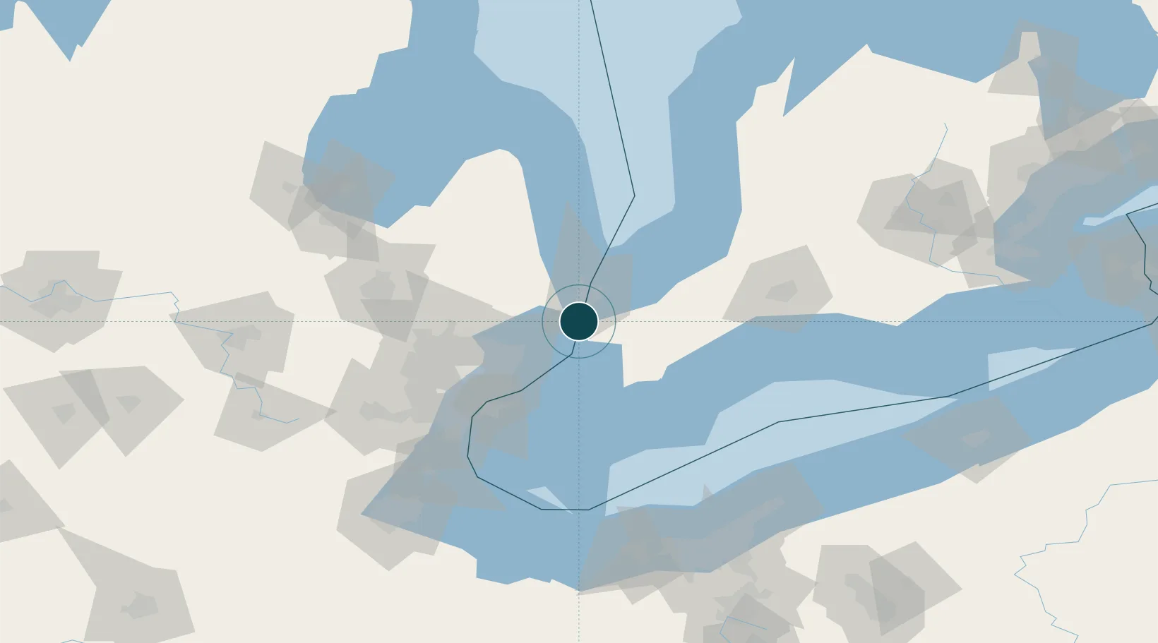
Location
Nearby Logistics Neighbours
Ports
- 1Courtright1 km
- 2Sombra11 km
- 3Sarnia19 km
- 4Port Huron21 km
- 5Point Edward21 km
Cities
- 1Cottrellville15 km
- 2Port Huron18 km
- 3Point Edward22 km
- 4Richmond22 km
- 5Fort Gratiot24 km
Airports
Trade Zones
- 1FTZ No. 210 St. Clair County4 km
- 2Windsor - Essex Foreign Trade Zone71 km
- 3FTZ No. 070 Detroit81 km
- 4FTZ No. 140 Flint107 km
- 5FTZ No. 284 Genesee County123 km
DatabookThe Record of Consolidated Knowledge
United States beyond logistics?