UN/LOCODE hub · United States
USWTF
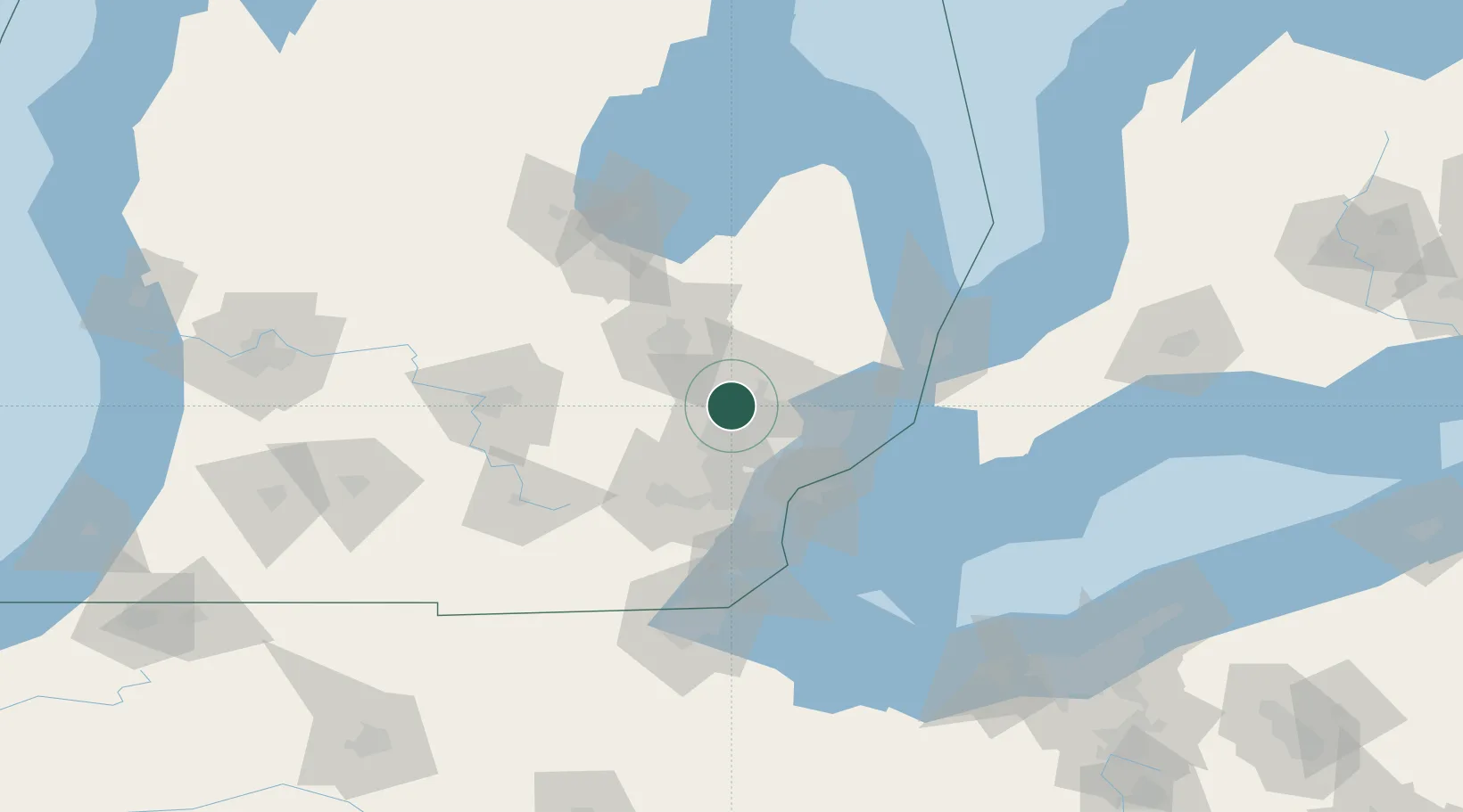
Waterford
42.7000°, -83.4000°
75,737
Population
3
Transport functions
Transport Functions
Rail
Road
Multimodal
Hub Profile
Place type
Populated place
Region
Michigan
Population
75,737
Time zone
America/Detroit
Elevation
294 m
Location
Nearby Logistics Neighbours
Cities
- 1Davisburg12 km
- 2Keego Harbor12 km
- 3White Lake12 km
- 4Sylvan Lake13 km
- 5Lake Orion Heights13 km
Ports
- 1Detroit51 km
- 2Windsor52 km
- 3Wyandotte59 km
- 4Trenton66 km
- 5Amherstburg71 km
Airports
Trade Zones
DatabookThe Record of Consolidated Knowledge
United States beyond logistics?