UN/LOCODE hub · United States
USABH
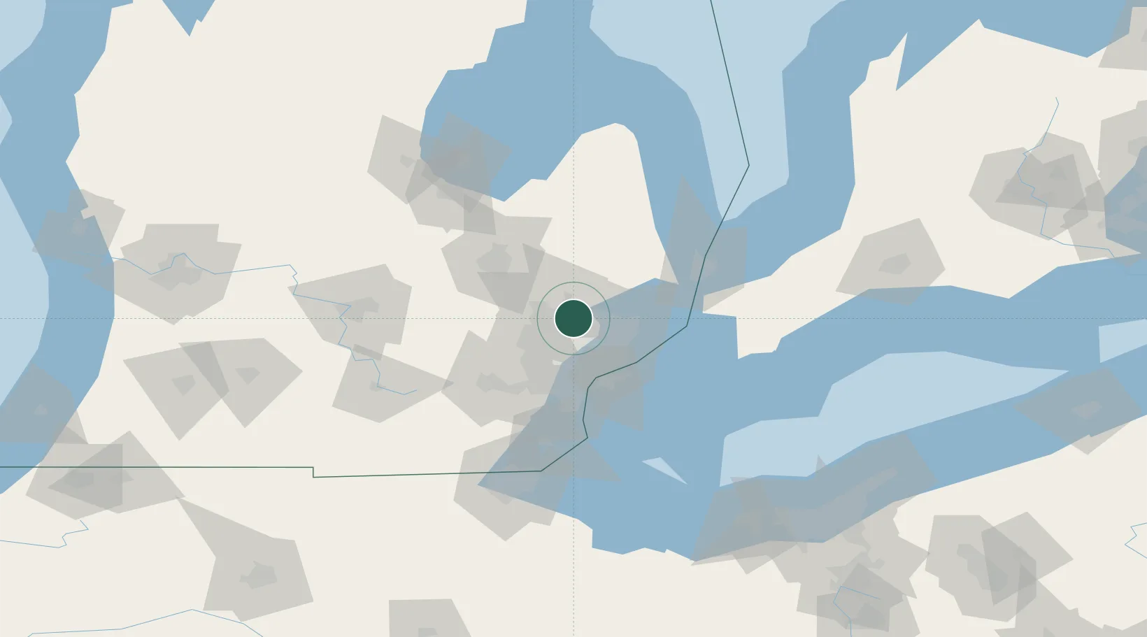
Auburn Hills
42.6667°, -83.2167°
22,672
Population
2
Transport functions
Transport Functions
Rail
Road
Hub Profile
Place type
Populated place
Region
Michigan
Population
22,672
Time zone
America/Detroit
Elevation
293 m
Location
Nearby Logistics Neighbours
Cities
- 1Sylvan Lake11 km
- 2Lake Orion Heights12 km
- 3Keego Harbor12 km
- 4Lake Orion13 km
- 5Waterford15 km
Airports
Trade Zones
DatabookThe Record of Consolidated Knowledge
United States beyond logistics?