Transport Functions
Road
Multimodal
Hub Profile
Place type
Populated place
Region
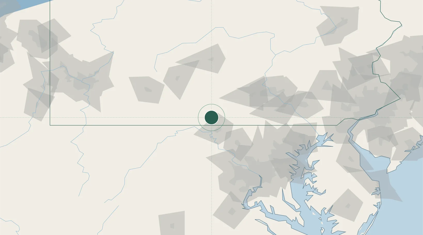
Pennsylvania
Time zone
America/New_York
Elevation
176 m
Location
Nearby Logistics Neighbours
Cities
- 1Saint Thomas9 km
- 2Shady Grove17 km
- 3Needmore24 km
- 4Orrstown31 km
- 5Hancock33 km
Ports
- 1Baltimore127 km
- 2Washington D.C.130 km
- 3Alexandria136 km
- 4Annapolis152 km
- 5Havre De Grace155 km
Airports
Trade Zones
DatabookThe Record of Consolidated Knowledge
United States beyond logistics?