UN/LOCODE hub · United States
USLKQ
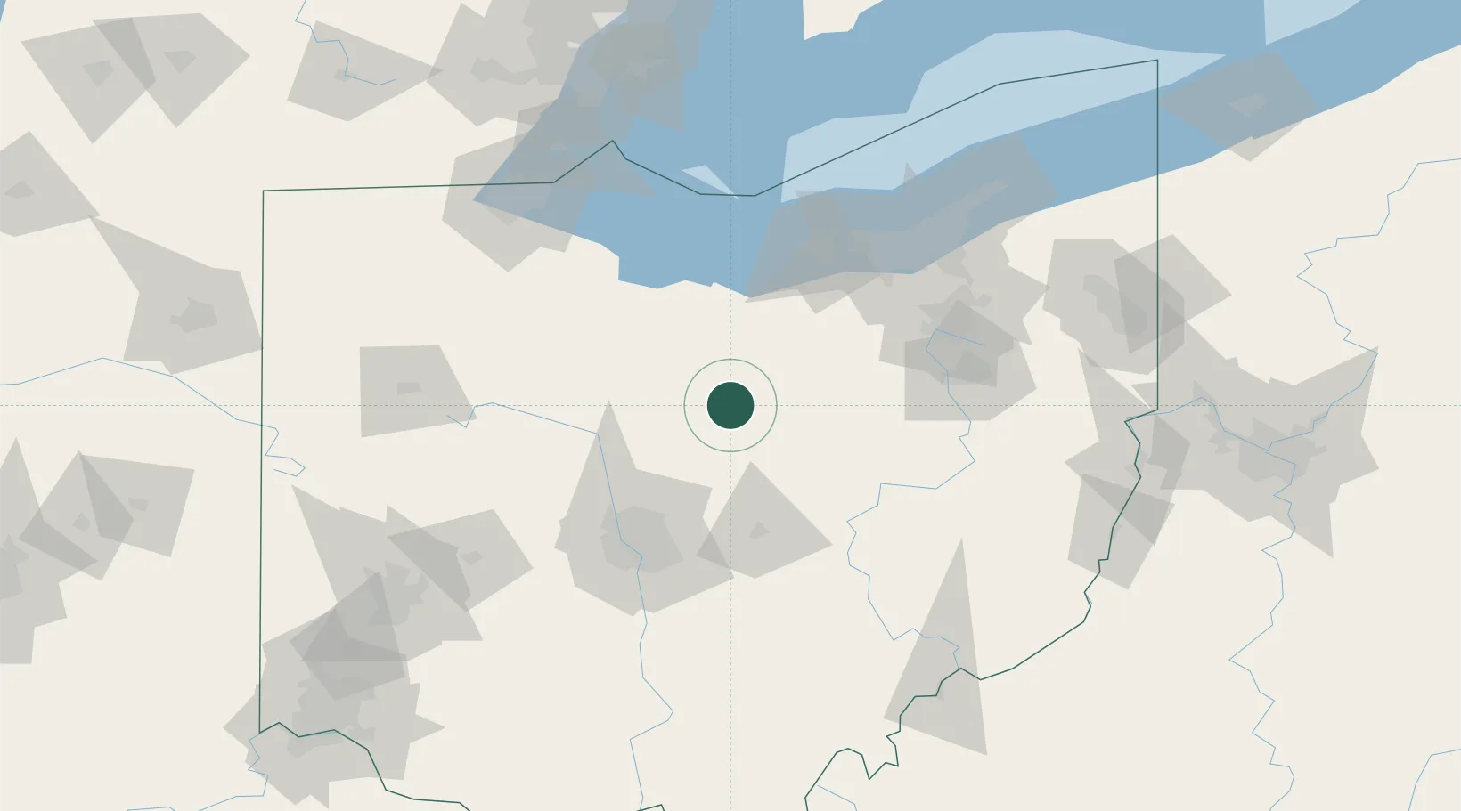
Lexington
40.6667°, -82.5667°
4,731
Population
2
Transport functions
Transport Functions
Rail
Road
Hub Profile
Place type
Populated place
Region
Ohio
Population
4,731
Time zone
America/New_York
Elevation
371 m
Location
Nearby Logistics Neighbours
Cities
- 1Ontario9 km
- 2Crestline19 km
- 3Galion20 km
- 4Fredericktown22 km
- 5Mount Gilead26 km
Ports
- 1Huron82 km
- 2Vermilion87 km
- 3Sandusky88 km
- 4Lorain95 km
- 5Port Clinton99 km
Airports
Trade Zones
- 1FTZ No. 181 Akron Canton77 km
- 2FTZ No. 138 Franklin County100 km
- 3FTZ No. 151 Findlay104 km
- 4FTZ No. 040 Cleveland110 km
- 5FTZ No. 008 Toledo136 km
DatabookThe Record of Consolidated Knowledge
United States beyond logistics?