UN/LOCODE hub · United States
USOPJ
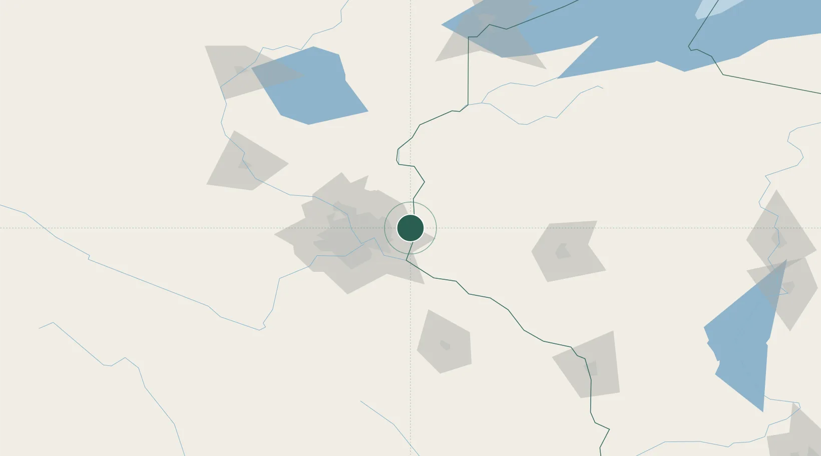
Oak Park Heights
45.0333°, -92.7833°
4,831
Population
2
Transport functions
Transport Functions
Rail
Road
Hub Profile
Place type
Populated place
Region
Minnesota
Population
4,831
Time zone
America/Chicago
Elevation
239 m
Location
Nearby Logistics Neighbours
Cities
- 1Stillwater2 km
- 2Lake Elmo9 km
- 3Somerset13 km
- 4Roberts19 km
- 5Hugo20 km
Ports
- 1Superior197 km
- 2Duluth200 km
- 3Ashland229 km
- 4Washburn234 km
- 5Two Harbors237 km
Airports
Trade Zones
- 1FTZ No. 119 Minneapolis-St. Paul36 km
- 2FTZ No. 051 Duluth197 km
- 3FTZ No. 266 Dane County329 km
- 4FTZ No. 288 Northwest Iowa335 km
- 5FTZ No. 175 Cedar Rapids350 km
DatabookThe Record of Consolidated Knowledge
United States beyond logistics?