Transport Functions
Rail
Road
Multimodal
Hub Profile
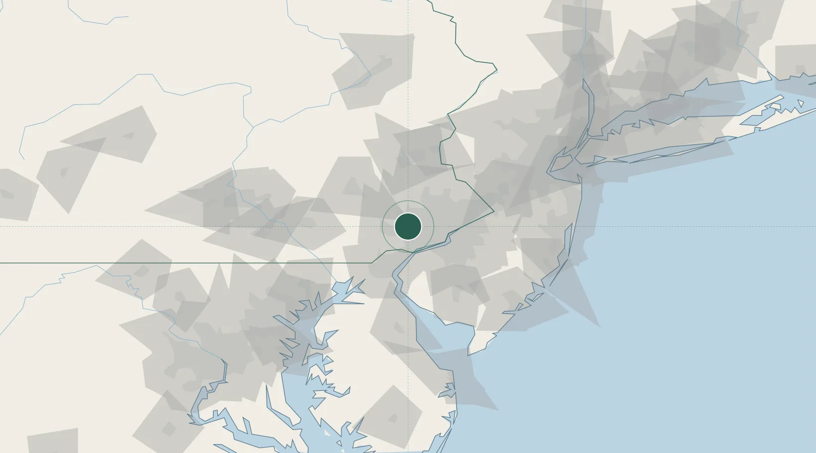
Place type
Populated place
Region
Pennsylvania
Population
5,575
Time zone
America/New_York
Elevation
155 m
Location
Nearby Logistics Neighbours
Cities
- 1Eagleville14 km
- 2East Norriton16 km
- 3Ardmore16 km
- 4Haverford16 km
- 5Lafayette Hill17 km
Ports
- 1Chester23 km
- 2Marcus Hook25 km
- 3Paulsboro28 km
- 4Philadelphia30 km
- 5Camden30 km
Airports
Trade Zones
DatabookThe Record of Consolidated Knowledge
United States beyond logistics?