Transport Functions
Port
Rail
Road
Multimodal
Hub Profile
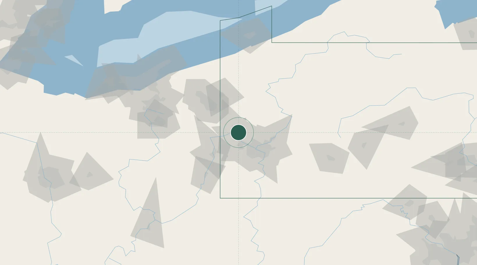
Place type
Populated place
Region
Pennsylvania
Population
1,529
Time zone
America/New_York
Elevation
238 m
Location
Nearby Logistics Neighbours
Cities
- 1Beaver4 km
- 2Baden6 km
- 3Ohioview12 km
- 4Fombell14 km
- 5Seven Fields16 km
Airports
Trade Zones
- 1FTZ No. 033 Pittsburgh33 km
- 2FTZ No. 181 Akron Canton129 km
- 3FTZ No. 295 Central Pennsylvania137 km
- 4FTZ No. 254 Jefferson County151 km
- 5FTZ No. 247 Erie160 km
DatabookThe Record of Consolidated Knowledge
United States beyond logistics?