Transport Functions
Road
Multimodal
Hub Profile
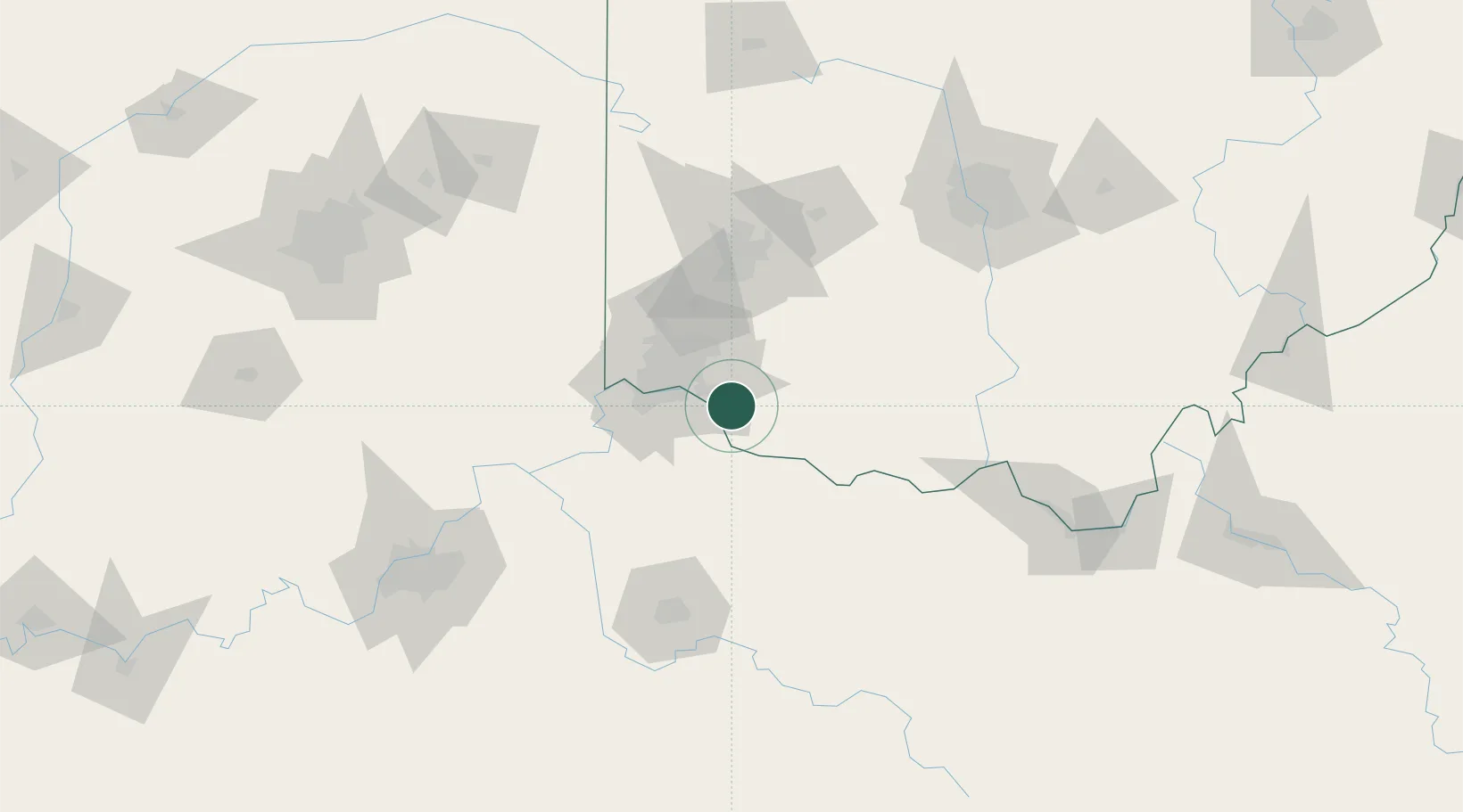
Place type
Populated place
Region
Ohio
Population
4,932
Time zone
America/New_York
Elevation
267 m
Location
Nearby Logistics Neighbours
Cities
- 1Silver Grove15 km
- 2Milford18 km
- 3Camp Dennison22 km
- 4Southgate22 km
- 5Dayton24 km
Ports
- 1Port Clinton299 km
- 2Sandusky299 km
- 3Huron300 km
- 4Toledo305 km
- 5Vermilion311 km
Airports
Trade Zones
- 1FTZ No. 046 CIncinnati27 km
- 2FTZ No. 047 Boone County58 km
- 3FTZ No. 054 Clinton County59 km
- 4FTZ No. 100 Dayton87 km
- 5FTZ No. 138 Franklin County141 km
DatabookThe Record of Consolidated Knowledge
United States beyond logistics?