UN/LOCODE hub · United States
USOUH
Southgate
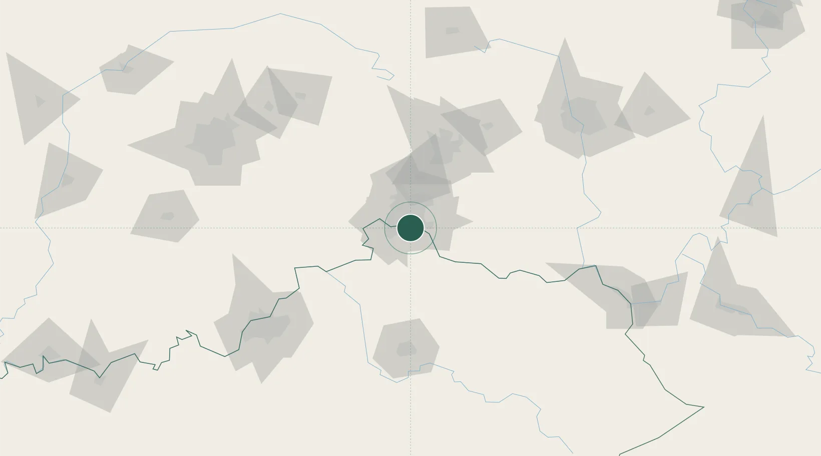
39.0667°, -84.4667°
3,856
Population
3
Transport functions
Transport Functions
Rail
Road
Multimodal
Hub Profile
Place type
Populated place
Region
Kentucky
Population
3,856
Time zone
America/New_York
Elevation
210 m
Location
Nearby Logistics Neighbours
Cities
- 1Dayton6 km
- 2Fort Mitchell7 km
- 3Silver Grove8 km
- 4Crestview Hills10 km
- 5Delhi12 km
Ports
- 1Port Clinton302 km
- 2Sandusky304 km
- 3Toledo305 km
- 4Huron306 km
- 5Vermilion318 km
Airports
Trade Zones
- 1FTZ No. 046 CIncinnati6 km
- 2FTZ No. 047 Boone County38 km
- 3FTZ No. 054 Clinton County71 km
- 4FTZ No. 100 Dayton83 km
- 5FTZ No. 029 Louisville146 km
DatabookThe Record of Consolidated Knowledge
United States beyond logistics?