UN/LOCODE hub · United States
USLIK

Saint Clair, Franklin

38.3500°, -90.9833°
3
Transport functions

Transport Functions

Rail
Road
Multimodal
UN/LOCODE

Hub Profile

Region
MO
GeoNames

Location

Location of USLIK
Natural Earth 10m (public domain) · MO · USLIK · 38.35, -90.98GoogleOSMYandex

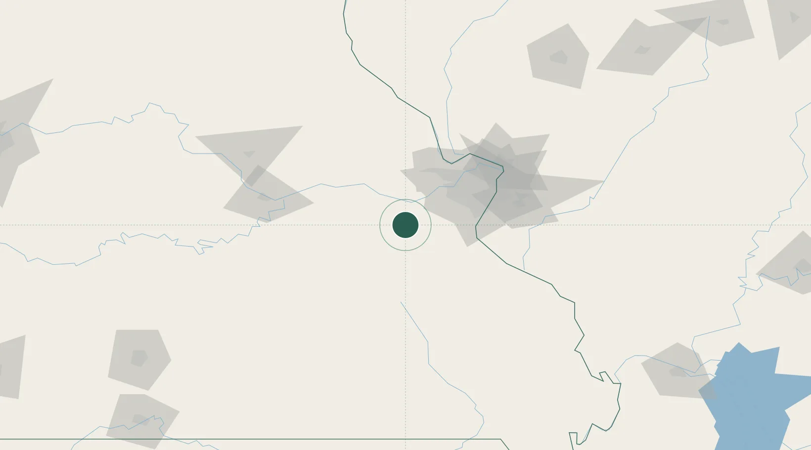
Nearby Logistics Neighbours

Cities
  1. 1Union, Franklin11 km
  2. 2Stanton14 km
  3. 3Catawissa20 km
  4. 4Labadie22 km
  5. 5Pacific25 km
Nearest neighbours — logibook spatial index (haversine) over the source coordinates
Ports
  1. 1Port Of Memphis372 km
  2. 2Indiana Harbor477 km
  3. 3Calumet Harbor478 km
  4. 4Gary478 km
  5. 5Chicago487 km
Nearest neighbours — logibook spatial index (haversine) over the source coordinates
Airports
  1. 1Spirit of St Louis Airport45 km
  2. 2St. Louis Lambert International Airport69 km
  3. 3St Louis Regional Airport101 km
  4. 4Scott AFB/Midamerica Airport102 km
  5. 5Columbia Regional Airport119 km
Nearest neighbours — logibook spatial index (haversine) over the source coordinates
Trade Zones
  1. 1FTZ No. 102 St. Louis County41 km
  2. 2FTZ No. 031 Granite City81 km
  3. 3FTZ No. 225 Springfield230 km
  4. 4FTZ No. 245 Decatur236 km
  5. 5FTZ No. 294 Western Kentucky255 km
Nearest neighbours — logibook spatial index (haversine) over the source coordinates
DatabookThe Record of Consolidated Knowledge
United States beyond logistics?
Browse databook

All Sources

LocationsUN/LOCODE
UN/LOCODE — free
Portsthe NGA World Port Index
Public domain (US gov)
AirportsOurAirports
Public domain
Trade Zonesthe World Bank SEZ database
CC BY 4.0
Trade ZonesOpen Zone Map
CC BY
← United States locations