Transport Functions
Road
Multimodal
Hub Profile
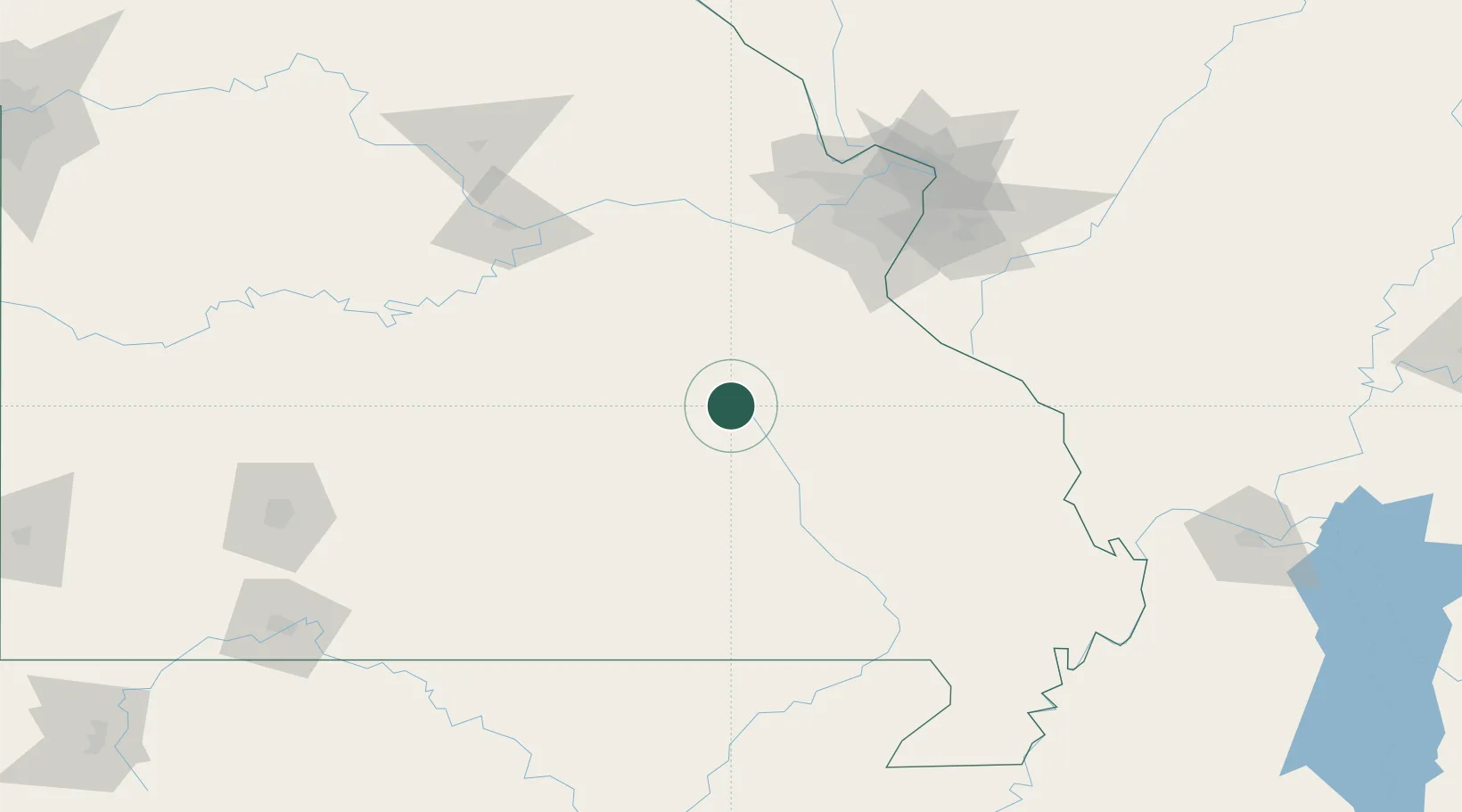
Place type
Populated place
Region
Missouri
Population
662
Time zone
America/Chicago
Elevation
387 m
Location
Nearby Logistics Neighbours
Cities
- 1Bunker31 km
- 2Cuba45 km
- 3Ironton46 km
- 4Saint James52 km
- 5Park Hills55 km
Ports
- 1Port Of Memphis307 km
- 2Indiana Harbor541 km
- 3Gary541 km
- 4Calumet Harbor542 km
- 5Chicago552 km
Airports
Trade Zones
- 1FTZ No. 102 St. Louis County109 km
- 2FTZ No. 031 Granite City139 km
- 3FTZ No. 225 Springfield189 km
- 4FTZ No. 294 Western Kentucky235 km
- 5FTZ No. 283 West Tennessee254 km
DatabookThe Record of Consolidated Knowledge
United States beyond logistics?