Transport Functions
Rail
Road
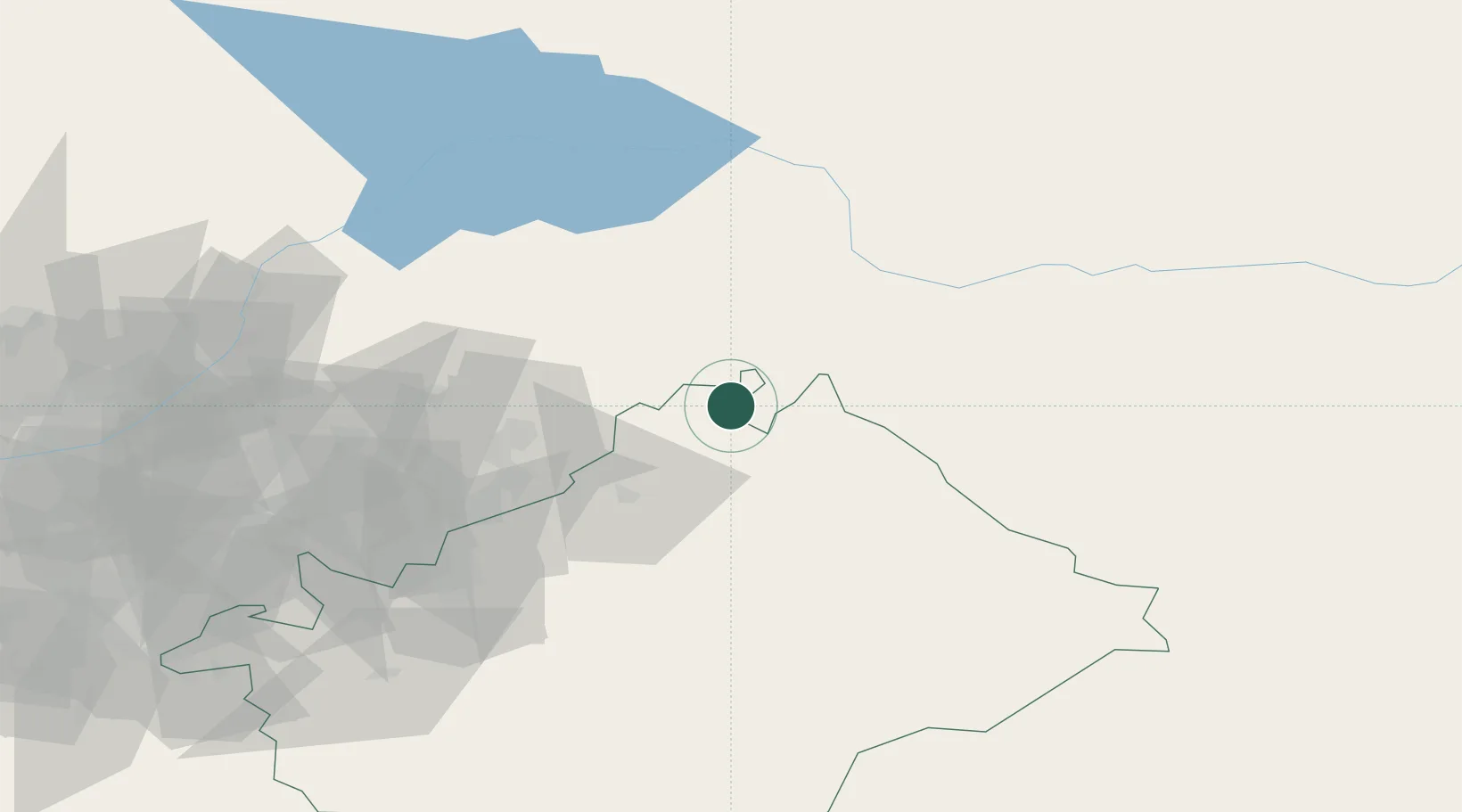
Hub Profile
Place type
Populated place
Region
Connecticut
Population
6,770
Time zone
America/New_York
Elevation
15 m
Location
Nearby Logistics Neighbours
Ports
- 1Muhamamad Bin Qasim1899 km
- 2Karachi1908 km
- 3Kandla2026 km
- 4Navlakhi2032 km
- 5Gwadar2054 km
Airports
- 1Jalal-Abad Airport53 km
- 2Kazarman Airport56 km
- 3Osh International Airport83 km
- 4Andijan International Airport115 km
- 5Kyzyl-Kiya Airport156 km
Trade Zones
DatabookThe Record of Consolidated Knowledge
United States beyond logistics?