Medium airport · Kyrgyzstan

Jalal-Abad AirportKG-0001
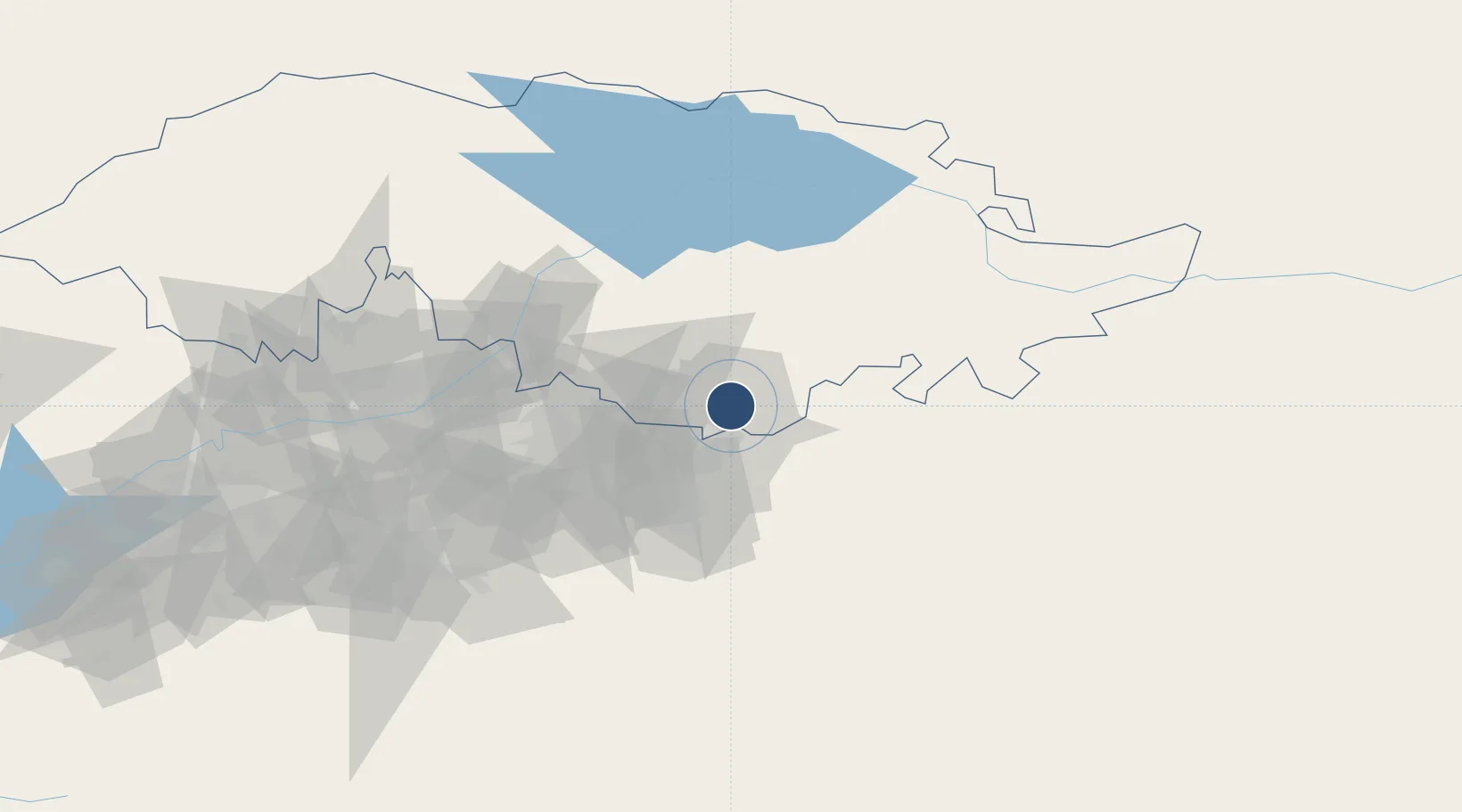
40.9444°, 72.9778°
5,708 ft
Longest runway
1
Runways
2,591 ft
Elevation

Runway & Layout

Jalal-Abad Airport runway & taxiway layout
Runway & taxiway layout — OpenStreetMap (ODbL) / OurAirports

Runways · 1

RunwayDimensions SurfaceTrue headingLit
01/19 5,708 × 115ft concrete
OurAirports

Airport Specifications

ICAO code
UCFD
OurAirports
Airport class
Medium airport
OurAirports
Scheduled service
Yes
OurAirports
Runway surface
concrete
OurAirports
Served city
Jalal-Abad
OurAirports

Location

Location of KG-0001
Natural Earth 10m (public domain) · Jalal-Abad · KG-0001 · 40.94, 72.98GoogleOSMYandex

Nearby Logistics Neighbours

Airports
  1. 1Osh International Airport40 km
  2. 2Andijan International Airport62 km
  3. 3Kazarman Airport103 km
  4. 4Kyzyl-Kiya Airport109 km
  5. 5Namangan International Airport119 km
Nearest neighbours — logibook spatial index (haversine) over the source coordinates
Cities
  1. 1Osh47 km
  2. 2Cos Cob53 km
  3. 3Asaka72 km
  4. 4Bay Head133 km
  5. 5Khamza138 km
Nearest neighbours — logibook spatial index (haversine) over the source coordinates
Ports
  1. 1Muhamamad Bin Qasim1873 km
  2. 2Karachi1881 km
  3. 3Kandla2008 km
  4. 4Navlakhi2014 km
  5. 5Gwadar2017 km
Nearest neighbours — logibook spatial index (haversine) over the source coordinates
Trade Zones
  1. 1Andijan Farm Free Economic Zone56 km
  2. 2Namangan Free Economic Zone110 km
  3. 3Kosonsoy-pharm Free Economic Zone128 km
  4. 4Qoqon Kokand Free Economic Zone179 km
  5. 5Maimak Special Economic Zone242 km
Nearest neighbours — logibook spatial index (haversine) over the source coordinates
DatabookThe Record of Consolidated Knowledge
Kyrgyzstan beyond logistics?
Browse databook

All Sources

AirportsOurAirports
Public domain
Portsthe NGA World Port Index
Public domain (US gov)
LocationsUN/LOCODE
UN/LOCODE — free
Trade Zonesthe World Bank SEZ database
CC BY 4.0
Trade ZonesOpen Zone Map
CC BY
InfrastructureOpenStreetMap
ODbL 1.0
← Kyrgyzstan airports