Transport Functions
Multimodal
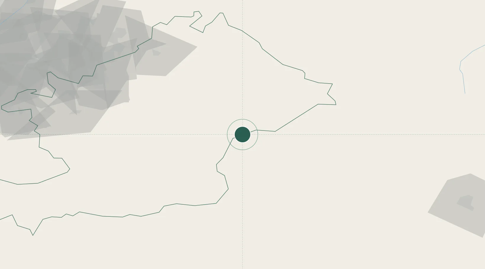
Hub Profile
Place type
Populated place
Region
New Jersey
Population
972
Time zone
America/New_York
Elevation
3 m
Location
Nearby Logistics Neighbours
Ports
- 1Muhamamad Bin Qasim1812 km
- 2Karachi1823 km
- 3Kandla1928 km
- 4Navlakhi1933 km
- 5Mandvi1967 km
Airports
- 1Osh International Airport122 km
- 2Jalal-Abad Airport133 km
- 3Kazarman Airport149 km
- 4Andijan International Airport166 km
- 5Kyzyl-Kiya Airport172 km
Trade Zones
- 1Andijan Farm Free Economic Zone164 km
- 2Atushi Industrial Park169 km
- 3Akto Jiangxi Industrial Park170 km
- 4Corps Caohu Industrial Park187 km
- 5Naryn Special Economic Zone224 km
DatabookThe Record of Consolidated Knowledge
United States beyond logistics?