Transport Functions
Rail
Road
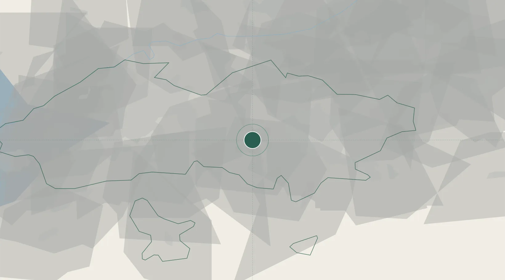
Location
Nearby Logistics Neighbours
Ports
- 1Muhamamad Bin Qasim1783 km
- 2Karachi1788 km
- 3Gwadar1902 km
- 4Chah Bahar1964 km
- 5Jazireh-Ye Hormoz2026 km
Airports
- 1Fergana International Airport22 km
- 2Kyzyl-Kiya Airport49 km
- 3Namangan International Airport63 km
- 4Batken Airport70 km
- 5Andijan International Airport76 km
Trade Zones
DatabookThe Record of Consolidated Knowledge
Uzbekistan beyond logistics?