Diversified Zone · Kyrgyzstan

Naryn Special Economic Zone Under Development
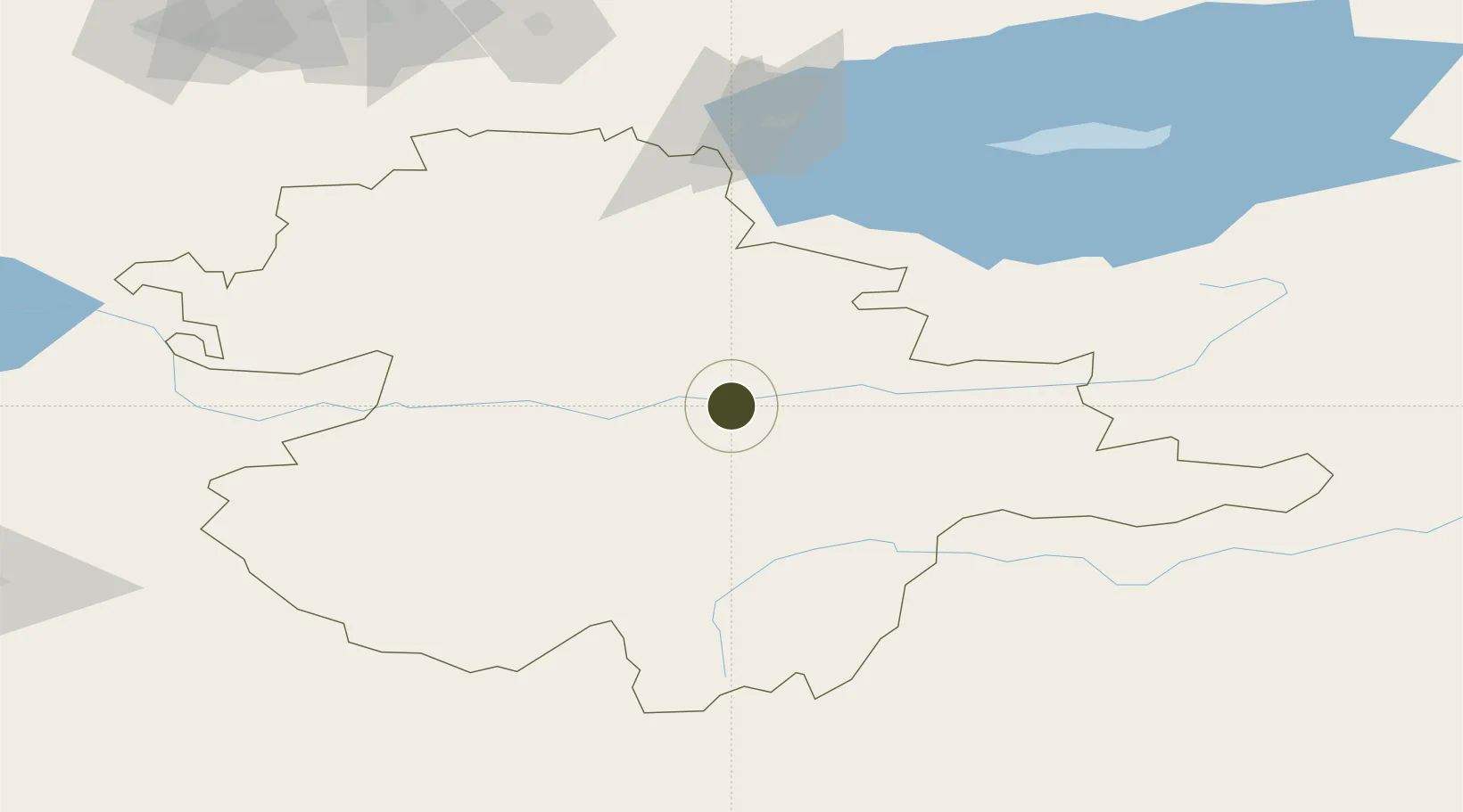
41.4277°, 76.0048°
2,017.8 km
Nearest port
10.6 km
Nearest airport

Gateway access

Nearest neighbours — logibook spatial index (haversine) over the source coordinates

Zone profile

Zone type
Diversified Zone
Open Zone Map
Region
Naryn
Open Zone Map
Status
Under Development
Open Zone Map
Management
Public
Open Zone Map
Operator
General Directorate of FEZ Naryn
Open Zone Map
Legal framework
Statement About Free Economic Zone "Naryn" dated July 8, 2016 No. 376
Open Zone Map

Location

Location of ozm-2687
Natural Earth 10m (public domain) · Naryn · ozm-2687 · 41.43, 76.00GoogleOSMYandex

Nearby Logistics Neighbours

Ports
  1. 1Muhamamad Bin Qasim2018 km
  2. 2Karachi2030 km
  3. 3Kandla2115 km
  4. 4Navlakhi2118 km
  5. 5Mandvi2159 km
Nearest neighbours — logibook spatial index (haversine) over the source coordinates
Airports
  1. 1Naryn Airport11 km
  2. 2Issyk-Kul International Airport141 km
  3. 3Tamga Airport152 km
  4. 4Kazarman Airport164 km
  5. 5Tokmok Airport165 km
Nearest neighbours — logibook spatial index (haversine) over the source coordinates
Cities
  1. 1Wysox50 km
  2. 2Bishkek (ex Frunze)198 km
  3. 3Alamedin199 km
  4. 4Cos Cob206 km
  5. 5Almaty224 km
Nearest neighbours — logibook spatial index (haversine) over the source coordinates
Trade Zones
  1. 1Karakol Special Economic Zone98 km
  2. 2Bishkek Special Economic Zone194 km
  3. 3Atushi Industrial Park197 km
  4. 4Leilek Special Economic Zone199 km
  5. 5Park of Innovative Technologies Special Economic Zone233 km
Nearest neighbours — logibook spatial index (haversine) over the source coordinates
DatabookThe Record of Consolidated Knowledge
Kyrgyzstan beyond logistics?
Browse databook

All Sources

Trade ZonesOpen Zone Map
CC BY
Portsthe NGA World Port Index
Public domain (US gov)
AirportsOurAirports
Public domain
LocationsUN/LOCODE
UN/LOCODE — free
← Kyrgyzstan trade zones