Transport Functions
Rail
Airport
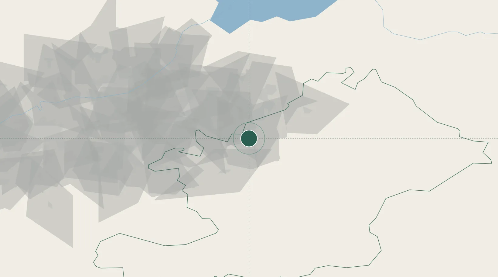
Hub Profile
Place type
Regional capital
Region
Osh Region
Population
322,164
Time zone
Asia/Bishkek
Elevation
988 m
Logistics facilities
1
Location
Nearby Logistics Neighbours
Ports
- 1Muhamamad Bin Qasim1826 km
- 2Karachi1834 km
- 3Kandla1962 km
- 4Navlakhi1968 km
- 5Gwadar1971 km
Airports
Trade Zones
DatabookThe Record of Consolidated Knowledge
Kyrgyzstan beyond logistics?