Large airport · Kyrgyzstan

Osh International AirportUAFO
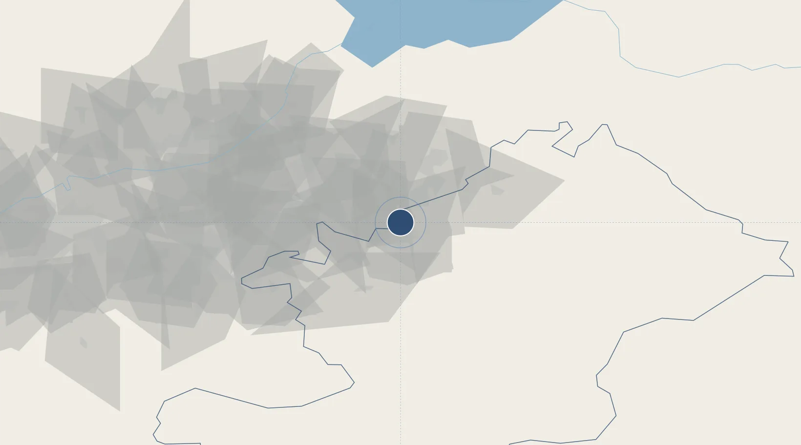
40.6090°, 72.7933°
10,538 ft
Longest runway
1
Runways
2,927 ft
Elevation

Runway & Layout

Osh International Airport runway & taxiway layout
Runway & taxiway layout — OpenStreetMap (ODbL) / OurAirports

Radio Frequencies

TWR
118.3 MHz
GND
121.8 MHz
APP
124.2 MHz
GCA
120.6 MHz
PMSV
134.2 MHz
METEO
OurAirports

Runways · 1

RunwayDimensions SurfaceTrue headingLit
12/30 10,538 × 148ft Asphalt 125°
OurAirports

Airport Specifications

IATA code
OSS
OurAirports
ICAO code
UCFO
OurAirports
Airport class
Large airport
OurAirports
Scheduled service
Yes
OurAirports
Runway surface
Asphalt
OurAirports
Served city
Osh
OurAirports

Location

Location of UAFO
Natural Earth 10m (public domain) · Osh · UAFO · 40.61, 72.79GoogleOSMYandex

Nearby Logistics Neighbours

Airports
  1. 1Jalal-Abad Airport40 km
  2. 2Andijan International Airport44 km
  3. 3Kyzyl-Kiya Airport73 km
  4. 4Fergana International Airport93 km
  5. 5Namangan International Airport112 km
Nearest neighbours — logibook spatial index (haversine) over the source coordinates
Cities
  1. 1Osh8 km
  2. 2Asaka47 km
  3. 3Cos Cob83 km
  4. 4Khamza111 km
  5. 5Altyaryk115 km
Nearest neighbours — logibook spatial index (haversine) over the source coordinates
Ports
  1. 1Muhamamad Bin Qasim1833 km
  2. 2Karachi1841 km
  3. 3Kandla1969 km
  4. 4Navlakhi1975 km
  5. 5Gwadar1977 km
Nearest neighbours — logibook spatial index (haversine) over the source coordinates
Trade Zones
  1. 1Andijan Farm Free Economic Zone42 km
  2. 2Namangan Free Economic Zone104 km
  3. 3Kosonsoy-pharm Free Economic Zone130 km
  4. 4Qoqon Kokand Free Economic Zone158 km
  5. 5Angren Special Industrial Zone239 km
Nearest neighbours — logibook spatial index (haversine) over the source coordinates
DatabookThe Record of Consolidated Knowledge
Kyrgyzstan beyond logistics?
Browse databook

All Sources

AirportsOurAirports
Public domain
Portsthe NGA World Port Index
Public domain (US gov)
LocationsUN/LOCODE
UN/LOCODE — free
Trade Zonesthe World Bank SEZ database
CC BY 4.0
Trade ZonesOpen Zone Map
CC BY
InfrastructureOpenStreetMap
ODbL 1.0
← Kyrgyzstan airports