Transport Functions
Port
Road
Hub Profile
Place type
Provincial seat
Region
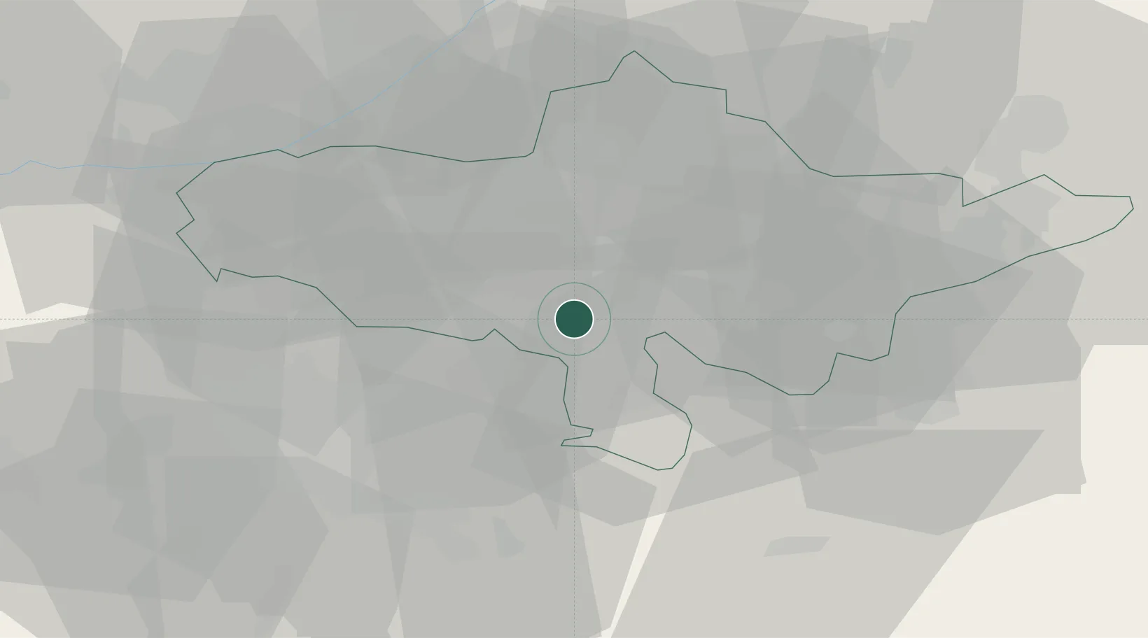
Andijan Region
Population
62,200
Time zone
Asia/Tashkent
Elevation
501 m
Logistics facilities
1
Location
Nearby Logistics Neighbours
Ports
- 1Muhamamad Bin Qasim1822 km
- 2Karachi1829 km
- 3Gwadar1954 km
- 4Kandla1966 km
- 5Navlakhi1973 km
Airports
Trade Zones
DatabookThe Record of Consolidated Knowledge
Uzbekistan beyond logistics?