Small airport · Kyrgyzstan

Kyzyl-Kiya AirportKG-0018
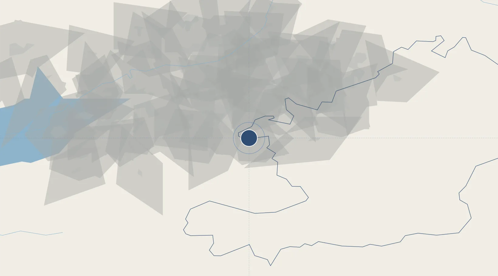
40.2717°, 72.0471°
5,249 ft
Longest runway
1
Runways
2,928 ft
Elevation

Runway & Layout

Kyzyl-Kiya Airport runway & taxiway layout
Runway & taxiway layout — OpenStreetMap (ODbL) / OurAirports

Runways · 1

RunwayDimensions SurfaceTrue headingLit
11/29 5,249 × 115ft concrete
OurAirports

Airport Specifications

ICAO code
UAFS
OurAirports
Airport class
Small airport
OurAirports
Scheduled service
Yes
OurAirports
Runway surface
concrete
OurAirports
Served city
Kyzyl-Kiya
OurAirports

Location

Location of KG-0018
Natural Earth 10m (public domain) · Osh · KG-0018 · 40.27, 72.05GoogleOSMYandex

Nearby Logistics Neighbours

Airports
  1. 1Fergana International Airport27 km
  2. 2Andijan International Airport55 km
  3. 3Osh International Airport73 km
  4. 4Namangan International Airport89 km
  5. 5Batken Airport106 km
Nearest neighbours — logibook spatial index (haversine) over the source coordinates
Cities
  1. 1Asaka43 km
  2. 2Khamza49 km
  3. 3Altyaryk51 km
  4. 4Osh71 km
  5. 5Kokand99 km
Nearest neighbours — logibook spatial index (haversine) over the source coordinates
Ports
  1. 1Muhamamad Bin Qasim1779 km
  2. 2Karachi1786 km
  3. 3Gwadar1912 km
  4. 4Kandla1925 km
  5. 5Navlakhi1931 km
Nearest neighbours — logibook spatial index (haversine) over the source coordinates
Trade Zones
  1. 1Andijan Farm Free Economic Zone62 km
  2. 2Namangan Free Economic Zone87 km
  3. 3Qoqon Kokand Free Economic Zone99 km
  4. 4Kosonsoy-pharm Free Economic Zone119 km
  5. 5Angren Special Industrial Zone191 km
Nearest neighbours — logibook spatial index (haversine) over the source coordinates
DatabookThe Record of Consolidated Knowledge
Kyrgyzstan beyond logistics?
Browse databook

All Sources

AirportsOurAirports
Public domain
Portsthe NGA World Port Index
Public domain (US gov)
LocationsUN/LOCODE
UN/LOCODE — free
Trade Zonesthe World Bank SEZ database
CC BY 4.0
Trade ZonesOpen Zone Map
CC BY
InfrastructureOpenStreetMap
ODbL 1.0
← Kyrgyzstan airports