Runway & Layout

Airport Specifications
ICAO code
UAFZ
Airport class
Small airport
Scheduled service
Yes
Served city
Kazarman
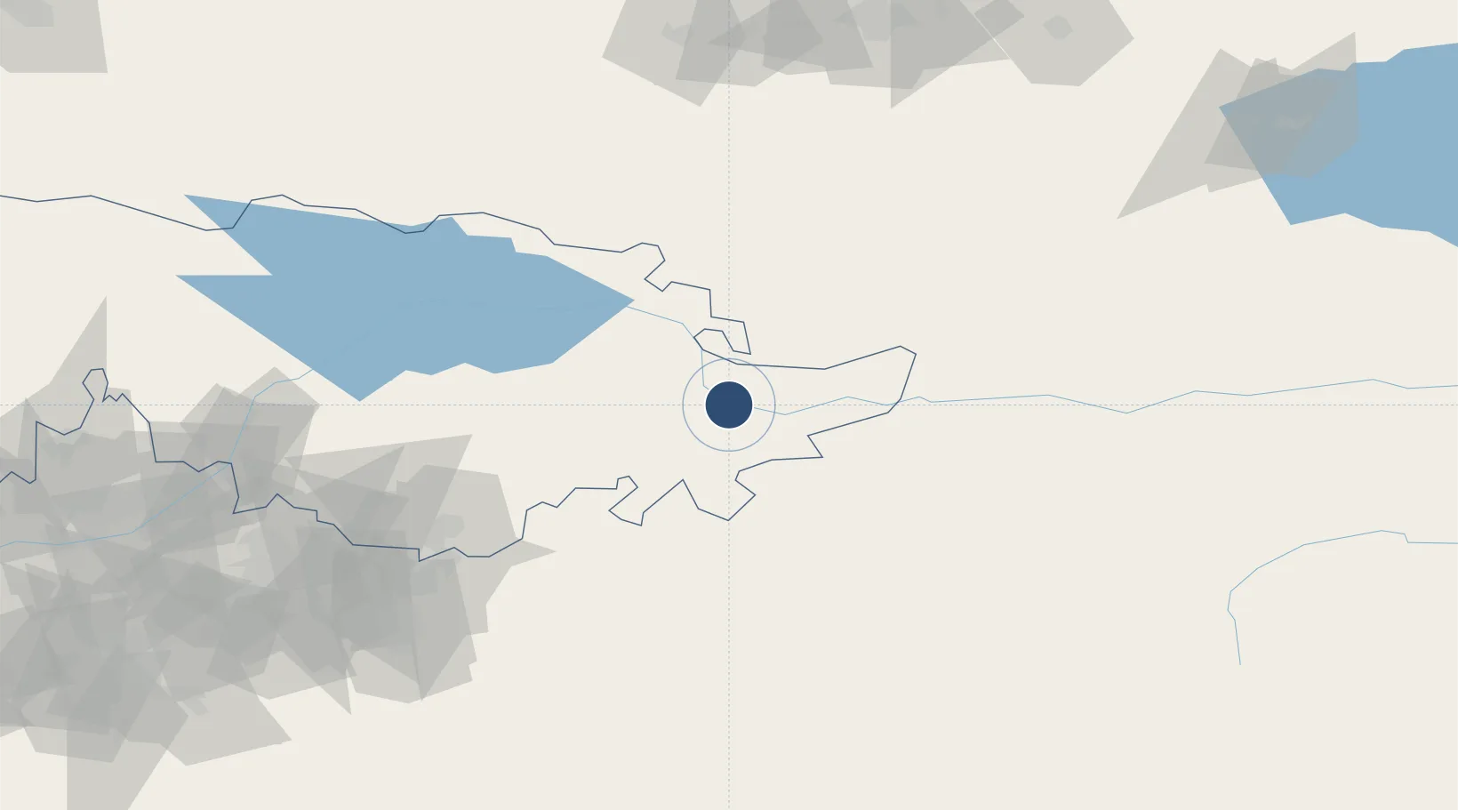
Location
Nearby Logistics Neighbours
Airports
- 1Jalal-Abad Airport103 km
- 2Osh International Airport138 km
- 3Andijan International Airport165 km
- 4Kant Air Base174 km
- 5Naryn Airport174 km
Cities
- 1Cos Cob56 km
- 2Osh142 km
- 3Bay Head149 km
- 4Bishkek (ex Frunze)168 km
- 5Alamedin173 km
Ports
- 1Muhamamad Bin Qasim1951 km
- 2Karachi1961 km
- 3Kandla2074 km
- 4Navlakhi2079 km
- 5Gwadar2109 km
Trade Zones
DatabookThe Record of Consolidated Knowledge
Kyrgyzstan beyond logistics?