Transport Functions
Rail
Road
Hub Profile
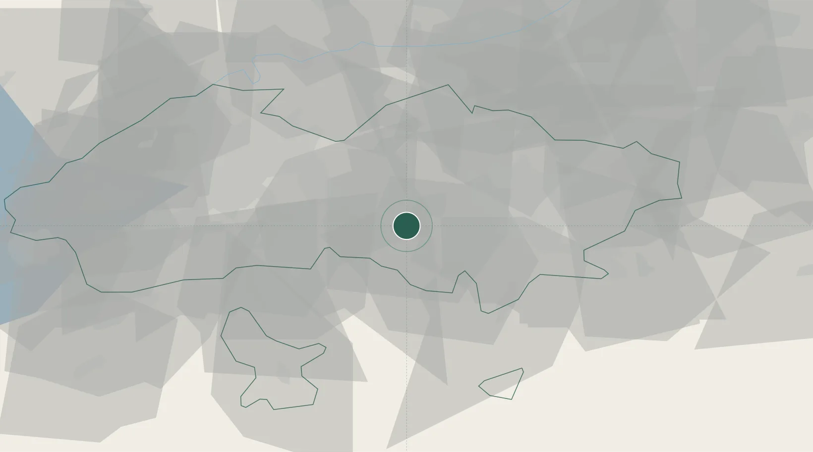
Region
FA
Location
Nearby Logistics Neighbours
Ports
- 1Muhamamad Bin Qasim1778 km
- 2Karachi1784 km
- 3Gwadar1897 km
- 4Chah Bahar1959 km
- 5Jazireh-Ye Hormoz2021 km
Airports
- 1Fergana International Airport24 km
- 2Kyzyl-Kiya Airport51 km
- 3Batken Airport66 km
- 4Namangan International Airport67 km
- 5Andijan International Airport80 km
Trade Zones
DatabookThe Record of Consolidated Knowledge
Uzbekistan beyond logistics?