Diversified Zone · Uzbekistan

Andijan Farm Free Economic Zone Active
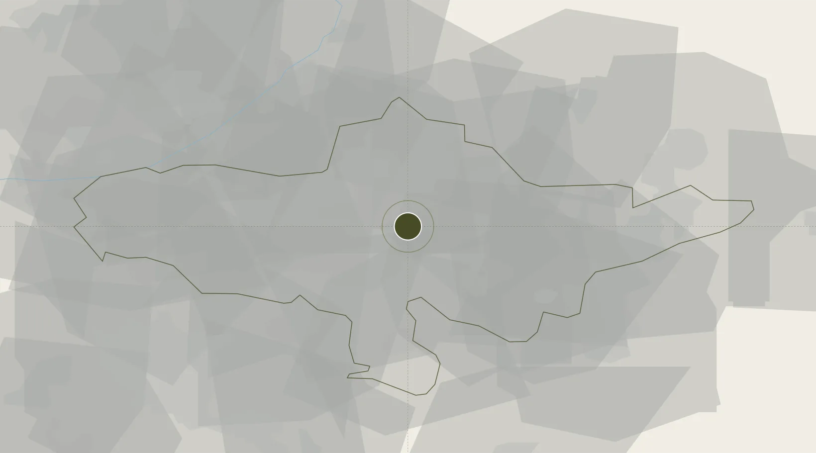
40.7752°, 72.3517°
179 ha
Zone area
1,839.6 km
Nearest port
7.2 km
Nearest airport

Gateway access

Nearest neighbours — logibook spatial index (haversine) over the source coordinates

Zone profile

Zone type
Diversified Zone
Open Zone Map
Region
Andijon
Open Zone Map
Status
Active
Open Zone Map
Management
Public
Open Zone Map
Operator
Directorate of the free economic zone" Andijan-Pharm "
Open Zone Map
Legal framework
Government Decree “On Measures to Organize the Activities of the Andijan-Pharm Free Economic Zone” (No. 480, 11.06.2019).
Open Zone Map

Location

Location of ozm-5001
Natural Earth 10m (public domain) · Andijon · ozm-5001 · 40.78, 72.35GoogleOSMYandex

Nearby Logistics Neighbours

Ports
  1. 1Muhamamad Bin Qasim1840 km
  2. 2Karachi1847 km
  3. 3Gwadar1973 km
  4. 4Kandla1983 km
  5. 5Navlakhi1989 km
Nearest neighbours — logibook spatial index (haversine) over the source coordinates
Airports
  1. 1Andijan International Airport7 km
  2. 2Osh International Airport42 km
  3. 3Jalal-Abad Airport56 km
  4. 4Kyzyl-Kiya Airport62 km
  5. 5Fergana International Airport69 km
Nearest neighbours — logibook spatial index (haversine) over the source coordinates
Cities
  1. 1Asaka19 km
  2. 2Osh47 km
  3. 3Khamza82 km
  4. 4Altyaryk87 km
  5. 5Cos Cob109 km
Nearest neighbours — logibook spatial index (haversine) over the source coordinates
Trade Zones
  1. 1Namangan Free Economic Zone62 km
  2. 2Kosonsoy-pharm Free Economic Zone89 km
  3. 3Qoqon Kokand Free Economic Zone123 km
  4. 4Angren Special Industrial Zone199 km
  5. 5Charvak Chorvoq Free Economic Zone223 km
Nearest neighbours — logibook spatial index (haversine) over the source coordinates
DatabookThe Record of Consolidated Knowledge
Uzbekistan beyond logistics?
Browse databook

All Sources

Trade ZonesOpen Zone Map
CC BY
Portsthe NGA World Port Index
Public domain (US gov)
AirportsOurAirports
Public domain
LocationsUN/LOCODE
UN/LOCODE — free
← Uzbekistan trade zones