UN/LOCODE hub · United States
USOAH
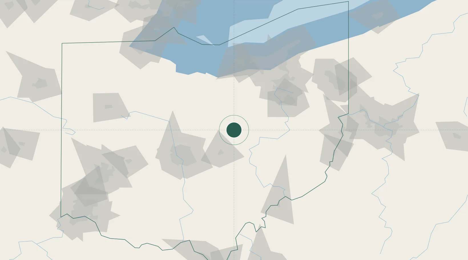
Oak Hill
40.4000°, -82.2333°
1,642
Population
2
Transport functions
Transport Functions
Road
Multimodal
Hub Profile
Place type
Populated place
Region
Ohio
Population
1,642
Time zone
America/New_York
Elevation
294 m
Location
Nearby Logistics Neighbours
Cities
- 1Loudonville26 km
- 2Fredericktown27 km
- 3Big Prairie32 km
- 4Frazeysburg33 km
- 5Shreve35 km
Airports
Trade Zones
- 1FTZ No. 181 Akron Canton75 km
- 2FTZ No. 138 Franklin County88 km
- 3FTZ No. 040 Cleveland126 km
- 4FTZ No. 151 Findlay143 km
- 5FTZ No. 054 Clinton County171 km
DatabookThe Record of Consolidated Knowledge
United States beyond logistics?