Transport Functions
Rail
Road
Multimodal
Hub Profile
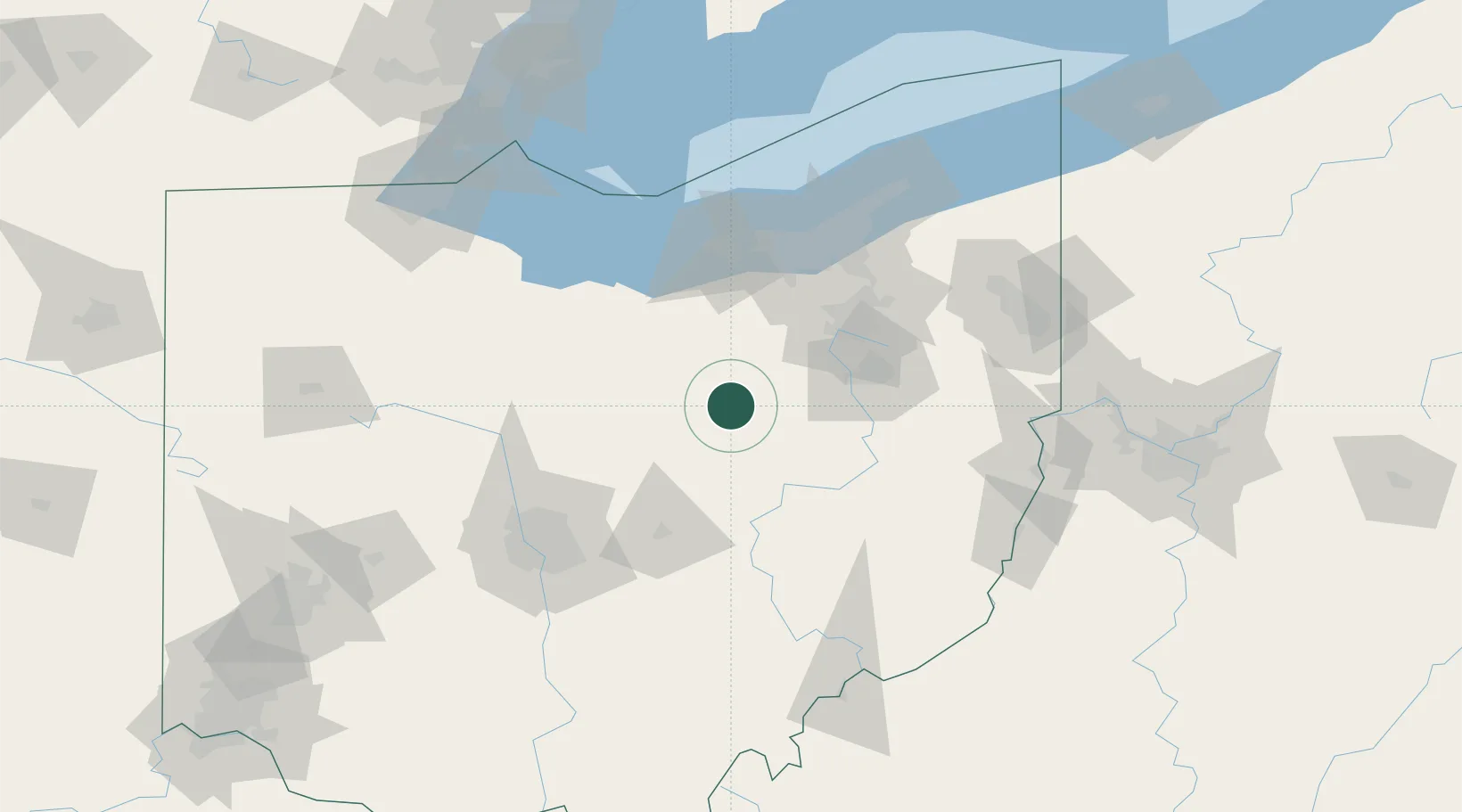
Place type
Populated place
Region
Ohio
Time zone
America/New_York
Elevation
290 m
Location
Nearby Logistics Neighbours
Cities
- 1Shreve7 km
- 2Loudonville12 km
- 3Holmesville16 km
- 4Mount Hope27 km
- 5Smithville, Wayne30 km
Airports
Trade Zones
- 1FTZ No. 181 Akron Canton44 km
- 2FTZ No. 040 Cleveland95 km
- 3FTZ No. 138 Franklin County118 km
- 4FTZ No. 151 Findlay141 km
- 5FTZ No. 008 Toledo163 km
DatabookThe Record of Consolidated Knowledge
United States beyond logistics?