UN/LOCODE hub · United States
USFCW
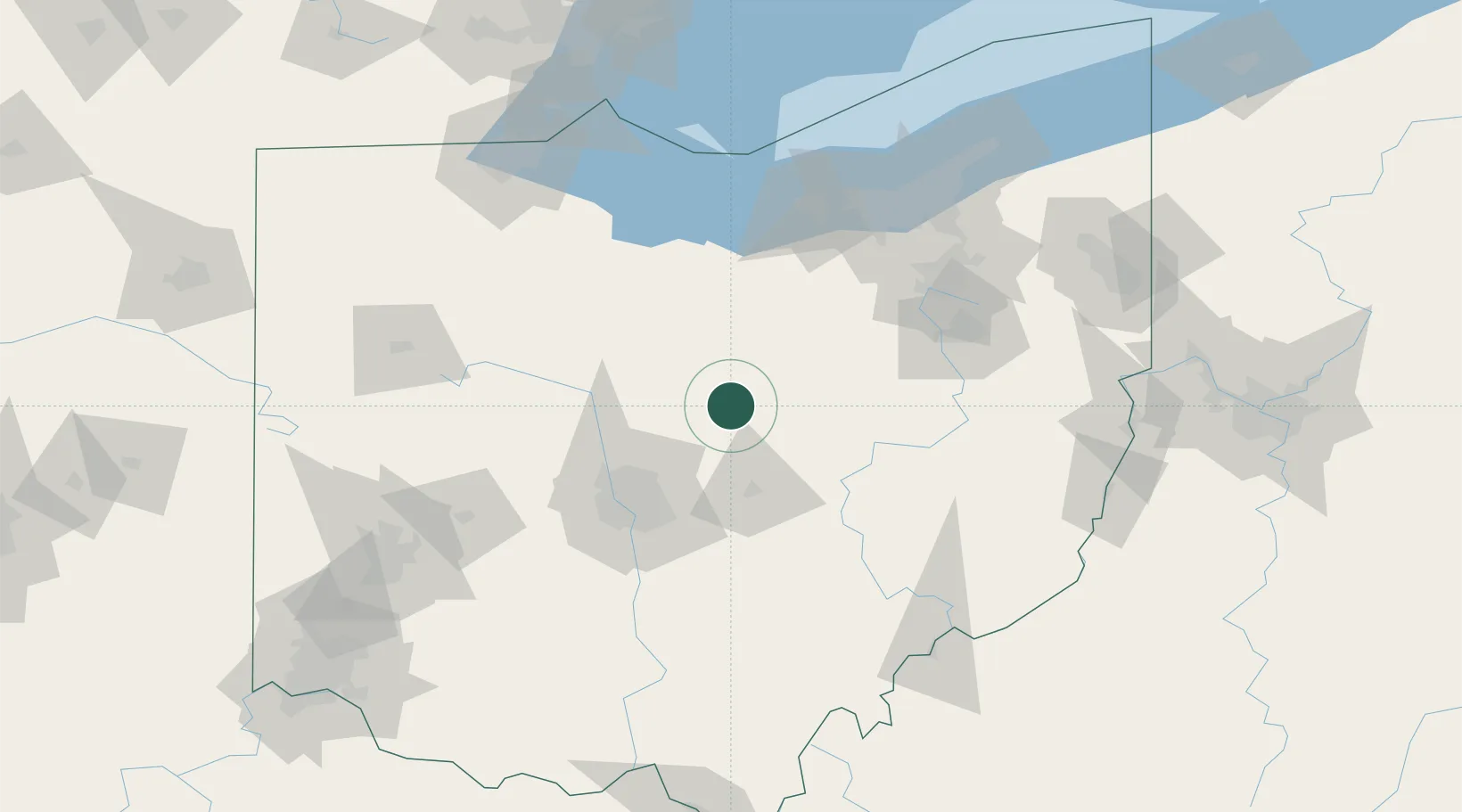
Fredericktown
40.4667°, -82.5333°
2,488
Population
2
Transport functions
Transport Functions
Rail
Road
Hub Profile
Place type
Populated place
Region
Ohio
Population
2,488
Time zone
America/New_York
Elevation
335 m
Location
Nearby Logistics Neighbours
Cities
- 1Lexington22 km
- 2Centerburg23 km
- 3Mount Gilead25 km
- 4Oak Hill27 km
- 5Loudonville31 km
Ports
- 1Huron104 km
- 2Vermilion108 km
- 3Sandusky110 km
- 4Lorain115 km
- 5Port Clinton122 km
Airports
Trade Zones
- 1FTZ No. 138 Franklin County80 km
- 2FTZ No. 181 Akron Canton86 km
- 3FTZ No. 151 Findlay118 km
- 4FTZ No. 040 Cleveland128 km
- 5FTZ No. 008 Toledo156 km
DatabookThe Record of Consolidated Knowledge
United States beyond logistics?