Transport Functions
Rail
Road
Multimodal
Hub Profile
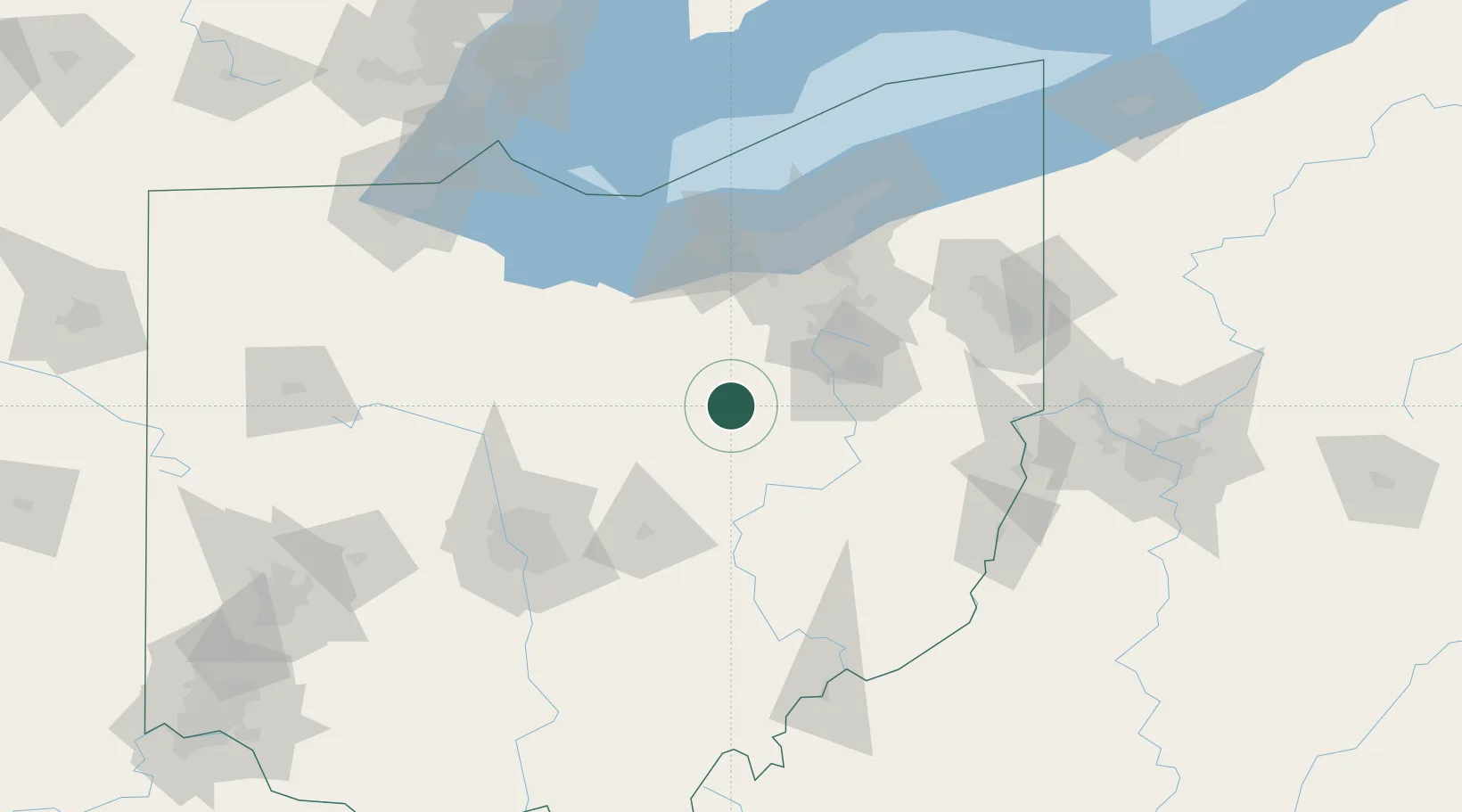
Place type
Populated place
Region
Ohio
Population
1,497
Time zone
America/New_York
Elevation
275 m
Location
Nearby Logistics Neighbours
Cities
- 1Big Prairie7 km
- 2Holmesville10 km
- 3Loudonville19 km
- 4Mount Hope21 km
- 5Smithville, Wayne26 km
Airports
Trade Zones
- 1FTZ No. 181 Akron Canton40 km
- 2FTZ No. 040 Cleveland94 km
- 3FTZ No. 138 Franklin County123 km
- 4FTZ No. 151 Findlay148 km
- 5FTZ No. 008 Toledo168 km
DatabookThe Record of Consolidated Knowledge
United States beyond logistics?