Transport Functions
Rail
Road
Hub Profile
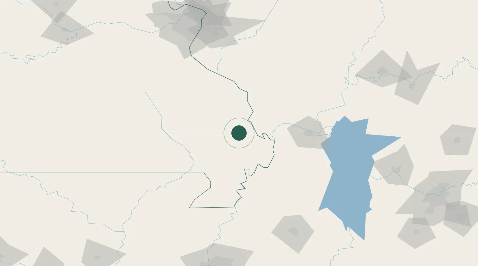
Place type
Populated place
Region
Missouri
Population
1,277
Time zone
America/Chicago
Elevation
103 m
Location
Nearby Logistics Neighbours
Cities
- 1Chaffee11 km
- 2Morehouse28 km
- 3Bloomfield34 km
- 4Matthews38 km
- 5Holly Springs, Marshall38 km
Ports
- 1Port Of Memphis229 km
- 2Gary542 km
- 3Indiana Harbor544 km
- 4Calumet Harbor549 km
- 5Chicago562 km
Airports
Trade Zones
- 1FTZ No. 294 Western Kentucky95 km
- 2FTZ No. 283 West Tennessee148 km
- 3FTZ No. 031 Granite City191 km
- 4FTZ No. 102 St. Louis County197 km
- 5FTZ No. 177 Evansville206 km
DatabookThe Record of Consolidated Knowledge
United States beyond logistics?