UN/LOCODE hub · United States
USOFB
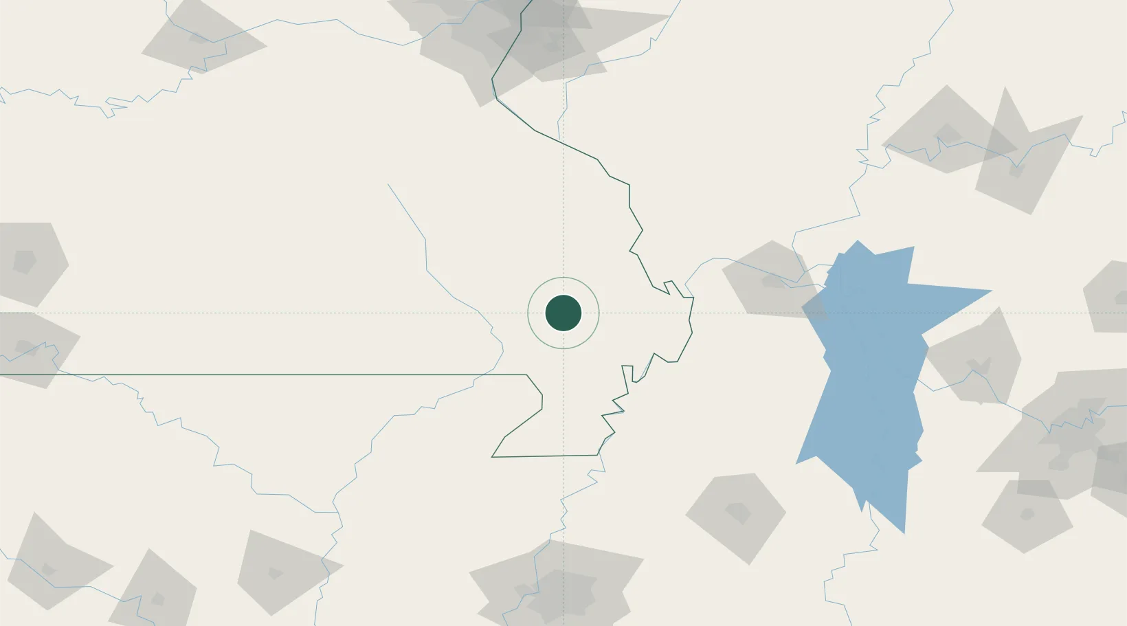
Bloomfield
36.8833°, -89.9333°
1,903
Population
2
Transport functions
Transport Functions
Road
Multimodal
Hub Profile
Place type
Provincial seat
Region
Missouri
Population
1,903
Time zone
America/Chicago
Elevation
147 m
Location
Nearby Logistics Neighbours
Ports
- 1Port Of Memphis203 km
- 2Gary572 km
- 3Indiana Harbor574 km
- 4Calumet Harbor578 km
- 5Chicago591 km
Airports
Trade Zones
- 1FTZ No. 294 Western Kentucky122 km
- 2FTZ No. 283 West Tennessee128 km
- 3FTZ No. 273 West Memphis195 km
- 4FTZ No. 223 Memphis196 km
- 5FTZ No. 077 Memphis197 km
DatabookThe Record of Consolidated Knowledge
United States beyond logistics?