Transport Functions
Multimodal
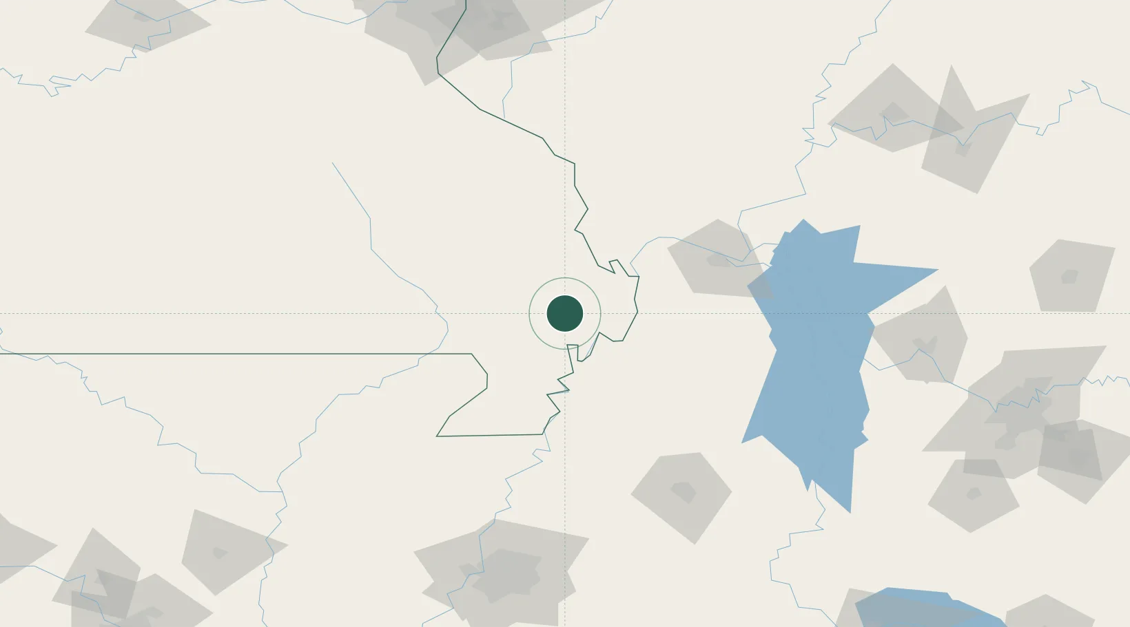
Hub Profile
Place type
Populated place
Region
Missouri
Population
628
Time zone
America/Chicago
Elevation
95 m
Location
Nearby Logistics Neighbours
Cities
- 1Holly Springs, Marshall12 km
- 2Morehouse13 km
- 3New Madrid20 km
- 4Anniston24 km
- 5Parma26 km
Ports
- 1Port Of Memphis194 km
- 2Gary575 km
- 3Indiana Harbor577 km
- 4Calumet Harbor582 km
- 5Chicago596 km
Airports
Trade Zones
- 1FTZ No. 294 Western Kentucky96 km
- 2FTZ No. 283 West Tennessee112 km
- 3FTZ No. 223 Memphis186 km
- 4FTZ No. 273 West Memphis187 km
- 5FTZ No. 077 Memphis190 km
DatabookThe Record of Consolidated Knowledge
United States beyond logistics?