UN/LOCODE hub · United States
USHS7

Holly Springs, Marshall

36.7833°, -89.4500°
3
Transport functions

Transport Functions

Rail
Road
Multimodal
UN/LOCODE

Hub Profile

Region
MS
GeoNames

Location

Location of USHS7
Natural Earth 10m (public domain) · MS · USHS7 · 36.78, -89.45GoogleOSMYandex

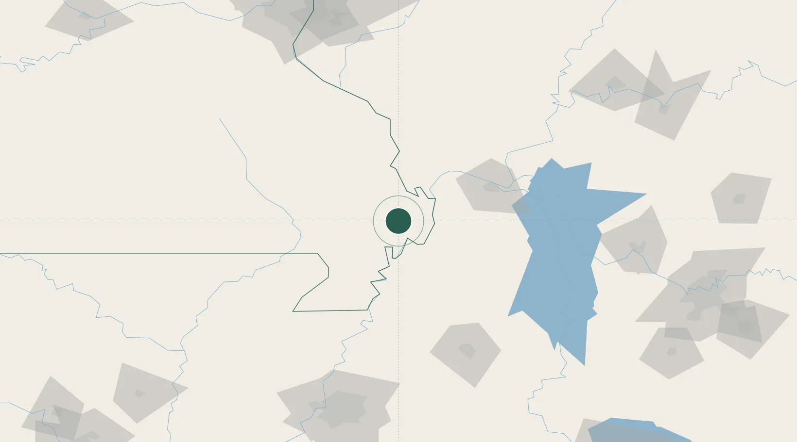
Nearby Logistics Neighbours

Cities
  1. 1Anniston11 km
  2. 2Matthews12 km
  3. 3Morehouse22 km
  4. 4New Madrid23 km
  5. 5Hickman34 km
Nearest neighbours — logibook spatial index (haversine) over the source coordinates
Ports
  1. 1Port Of Memphis202 km
  2. 2Gary568 km
  3. 3Indiana Harbor570 km
  4. 4Calumet Harbor575 km
  5. 5Chicago589 km
Nearest neighbours — logibook spatial index (haversine) over the source coordinates
Airports
  1. 1Cape Girardeau Regional Airport50 km
  2. 2Barkley Regional Airport68 km
  3. 3Arkansas International Airport101 km
  4. 4Southern Illinois Airport112 km
  5. 5Veterans Airport of Southern Illinois114 km
Nearest neighbours — logibook spatial index (haversine) over the source coordinates
Trade Zones
  1. 1FTZ No. 294 Western Kentucky83 km
  2. 2FTZ No. 283 West Tennessee117 km
  3. 3FTZ No. 223 Memphis193 km
  4. 4FTZ No. 273 West Memphis194 km
  5. 5FTZ No. 077 Memphis198 km
Nearest neighbours — logibook spatial index (haversine) over the source coordinates
DatabookThe Record of Consolidated Knowledge
United States beyond logistics?
Browse databook

All Sources

LocationsUN/LOCODE
UN/LOCODE — free
Portsthe NGA World Port Index
Public domain (US gov)
AirportsOurAirports
Public domain
Trade Zonesthe World Bank SEZ database
CC BY 4.0
Trade ZonesOpen Zone Map
CC BY
← United States locations