Transport Functions
Road
Multimodal
Hub Profile
Place type
Populated place
Region
New York
Population
207
Time zone
America/New_York
Elevation
367 m
Logistics facilities
1
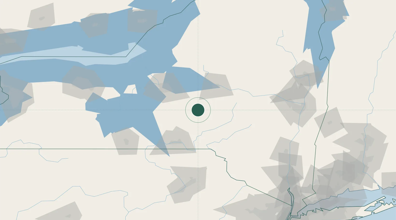
Location
Nearby Logistics Neighbours
Cities
- 1Rhode Island19 km
- 2New Berlin20 km
- 3Munnsville31 km
- 4Garrattsville33 km
- 5Cazenovia36 km
Ports
- 1Oswego116 km
- 2Sodus Bay132 km
- 3Albany149 km
- 4Rensselaer149 km
- 5Catskill150 km
Airports
Trade Zones
- 1FTZ No. 172 Oneida County72 km
- 2FTZ No. 090 Onondaga117 km
- 3FTZ No. 121 Albany143 km
- 4FTZ No. 109 Watertown147 km
- 5FTZ No. 024 Pittston152 km
DatabookThe Record of Consolidated Knowledge
United States beyond logistics?