UN/LOCODE hub · United States
USGVZ

Gordonville

40.0167°, -76.1333°
508
Population
4
Transport functions

Transport Functions

Port
Rail
Road
Multimodal
UN/LOCODE

Hub Profile

Place type
Populated place
GeoNames
Region
Pennsylvania
GeoNames
Population
508
GeoNames
Time zone
America/New_York
GeoNames
Elevation
122 m
GeoNames

Location

Location of USGVZ
Natural Earth 10m (public domain) · Pennsylvania · USGVZ · 40.02, -76.13GoogleOSMYandex

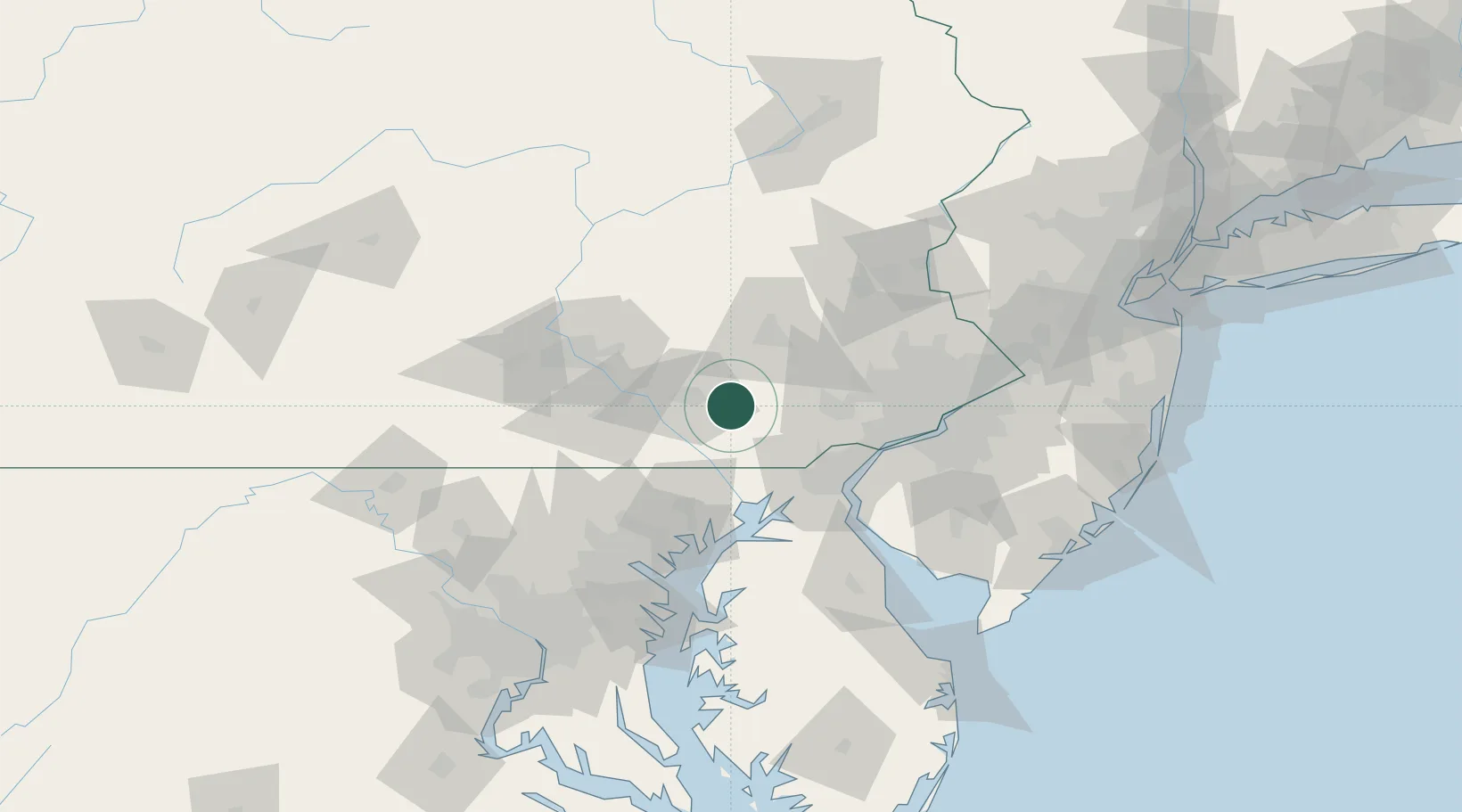
Nearby Logistics Neighbours

Cities
  1. 1Ronks3 km
  2. 2Smoketown5 km
  3. 3Strasburg7 km
  4. 4Gap11 km
  5. 5Lampeter11 km
Nearest neighbours — logibook spatial index (haversine) over the source coordinates
Ports
  1. 1Havre De Grace54 km
  2. 2Wilmington59 km
  3. 3New Castle63 km
  4. 4Deepwater Point63 km
  5. 5Marcus Hook65 km
Nearest neighbours — logibook spatial index (haversine) over the source coordinates
Airports
  1. 1Lancaster Airport18 km
  2. 2Reading Regional Airport (Carl A Spaatz Field)43 km
  3. 3Harrisburg International Airport57 km
  4. 4Wilmington Airport59 km
  5. 5Muir Army Air Field (Fort Indiantown Gap) Airport59 km
Nearest neighbours — logibook spatial index (haversine) over the source coordinates
Trade Zones
  1. 1FTZ No. 147 Berks County45 km
  2. 2FTZ No. 099 Wilmington59 km
  3. 3FTZ No. 035 Philadelphia75 km
  4. 4FTZ No. 272 Counties of Lehigh and Northampton82 km
  5. 5FTZ No. 074 Baltimore92 km
Nearest neighbours — logibook spatial index (haversine) over the source coordinates
DatabookThe Record of Consolidated Knowledge
United States beyond logistics?
Browse databook

All Sources

LocationsUN/LOCODE
UN/LOCODE — free
LocationsGeoNames
CC BY 4.0
Portsthe NGA World Port Index
Public domain (US gov)
AirportsOurAirports
Public domain
Trade Zonesthe World Bank SEZ database
CC BY 4.0
Trade ZonesOpen Zone Map
CC BY
← United States locations