Transport Functions
Port
Road
Multimodal
Hub Profile
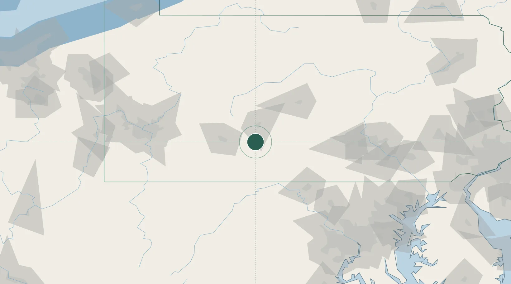
Place type
Populated place
Region
Pennsylvania
Time zone
America/New_York
Elevation
375 m
Location
Nearby Logistics Neighbours
Cities
- 1Claysburg4 km
- 2Martinsburg12 km
- 3New Enterprise12 km
- 4Newry13 km
- 5Hollidaysburg18 km
Ports
- 1Baltimore195 km
- 2Washington D.C.197 km
- 3Alexandria203 km
- 4Havre De Grace218 km
- 5Annapolis221 km
Airports
Trade Zones
DatabookThe Record of Consolidated Knowledge
United States beyond logistics?