UN/LOCODE hub · United States
USNOS
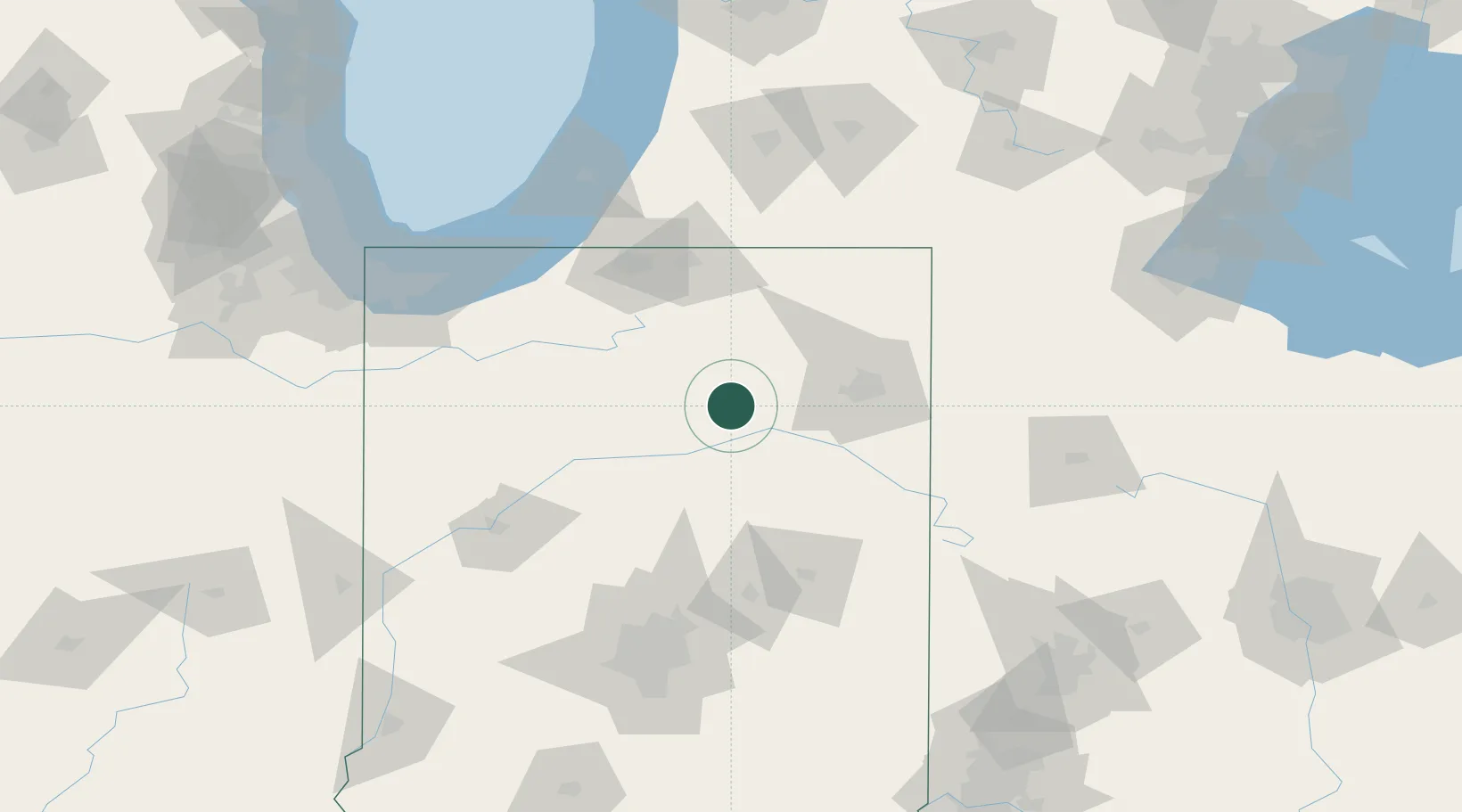
North Manchester
41.0000°, -85.7667°
5,971
Population
3
Transport functions
Transport Functions
Rail
Road
Multimodal
Hub Profile
Place type
Populated place
Region
Indiana
Population
5,971
Time zone
America/Indiana/Indianapolis
Elevation
236 m
Location
Nearby Logistics Neighbours
Cities
- 1Silver Lake12 km
- 2Urbana13 km
- 3Claypool20 km
- 4Mentone29 km
- 5North Webster36 km
Ports
- 1Michigan City125 km
- 2St Joseph138 km
- 3Gary148 km
- 4Indiana Harbor158 km
- 5South Haven162 km
Airports
Trade Zones
- 1FTZ No. 182 Fort Wayne41 km
- 2FTZ No. 125 South Bend89 km
- 3FTZ No. 152 Burns Harbor135 km
- 4FTZ No. 072 Indianapolis149 km
- 5FTZ No. 043 Battle Creek154 km
DatabookThe Record of Consolidated Knowledge
United States beyond logistics?