Transport Functions
Road
Multimodal
Hub Profile
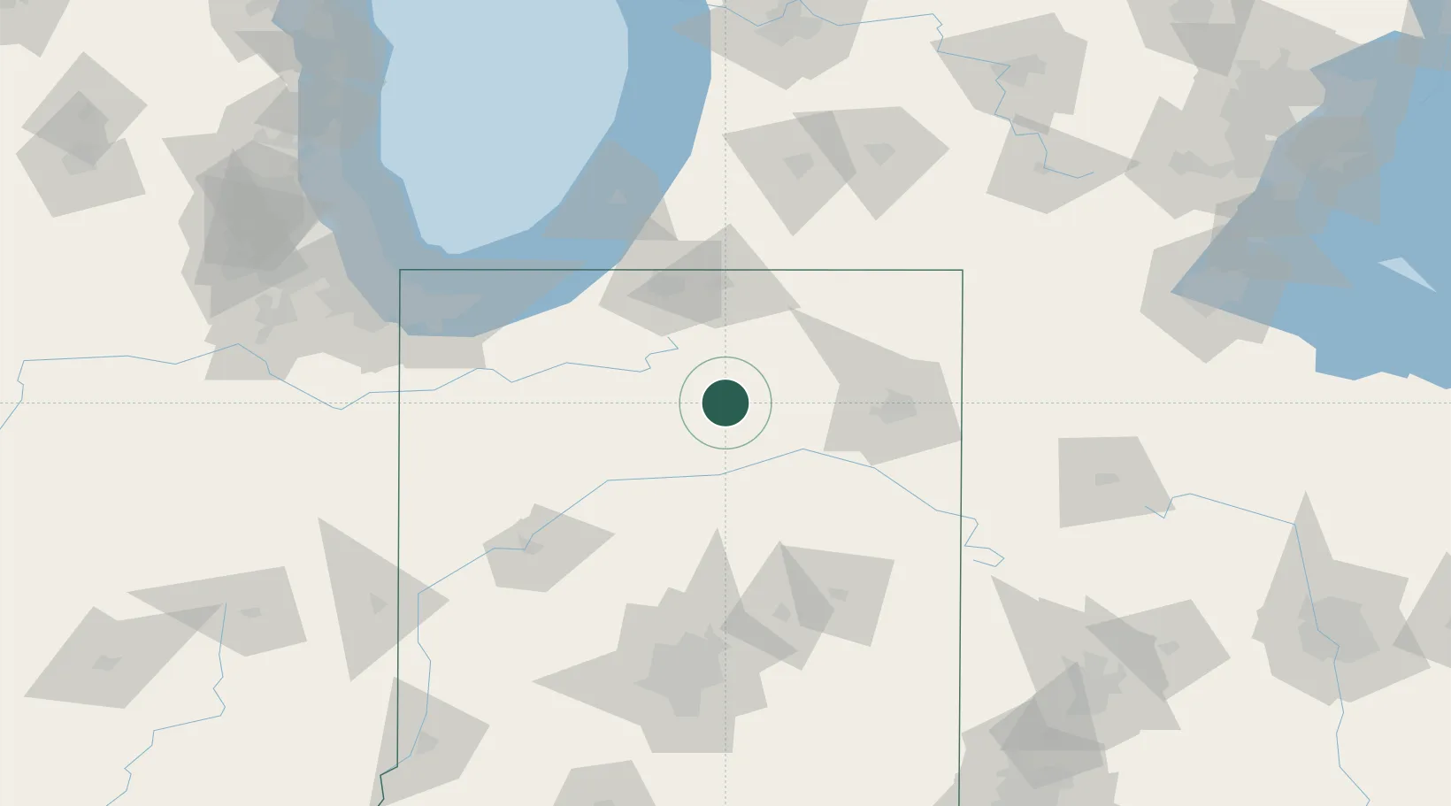
Place type
Populated place
Region
Indiana
Population
430
Time zone
America/Indiana/Indianapolis
Elevation
271 m
Location
Nearby Logistics Neighbours
Cities
- 1Silver Lake8 km
- 2Mentone9 km
- 3North Manchester20 km
- 4Urbana30 km
- 5North Webster32 km
Ports
- 1Michigan City105 km
- 2St Joseph120 km
- 3Gary128 km
- 4Indiana Harbor138 km
- 5South Haven145 km
Airports
Trade Zones
- 1FTZ No. 182 Fort Wayne55 km
- 2FTZ No. 125 South Bend70 km
- 3FTZ No. 152 Burns Harbor116 km
- 4FTZ No. 043 Battle Creek147 km
- 5FTZ No. 072 Indianapolis158 km
DatabookThe Record of Consolidated Knowledge
United States beyond logistics?