Transport Functions
Rail
Road
Multimodal
Hub Profile
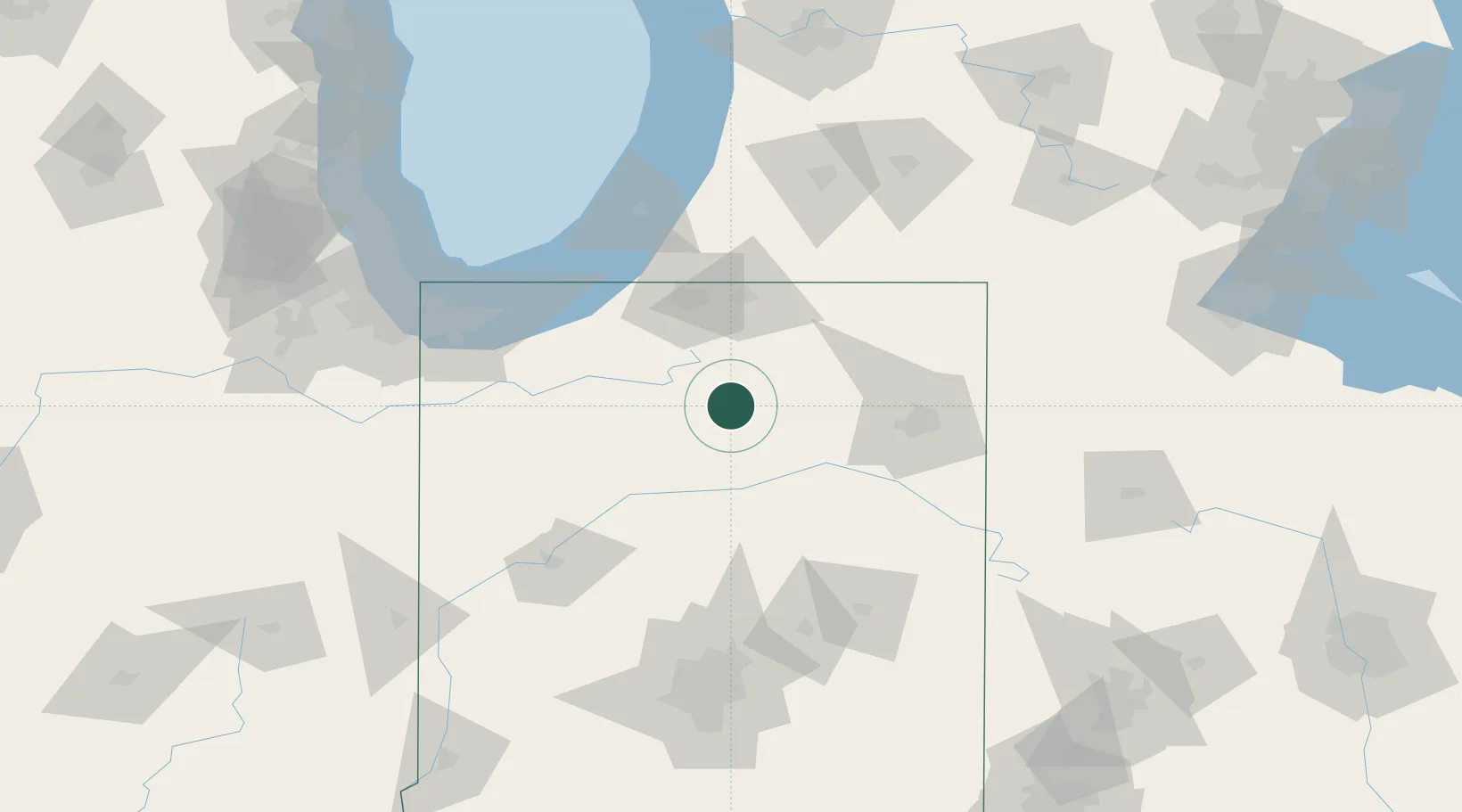
Place type
Populated place
Region
Indiana
Population
982
Time zone
America/Indiana/Indianapolis
Elevation
256 m
Location
Nearby Logistics Neighbours
Cities
- 1Claypool9 km
- 2Silver Lake17 km
- 3North Manchester29 km
- 4North Webster34 km
- 5Urbana38 km
Ports
- 1Michigan City96 km
- 2St Joseph112 km
- 3Gary119 km
- 4Indiana Harbor129 km
- 5South Haven139 km
Airports
Trade Zones
- 1FTZ No. 125 South Bend62 km
- 2FTZ No. 182 Fort Wayne63 km
- 3FTZ No. 152 Burns Harbor107 km
- 4FTZ No. 043 Battle Creek145 km
- 5FTZ No. 072 Indianapolis162 km
DatabookThe Record of Consolidated Knowledge
United States beyond logistics?