Transport Functions
Rail
Road
Postal
Hub Profile
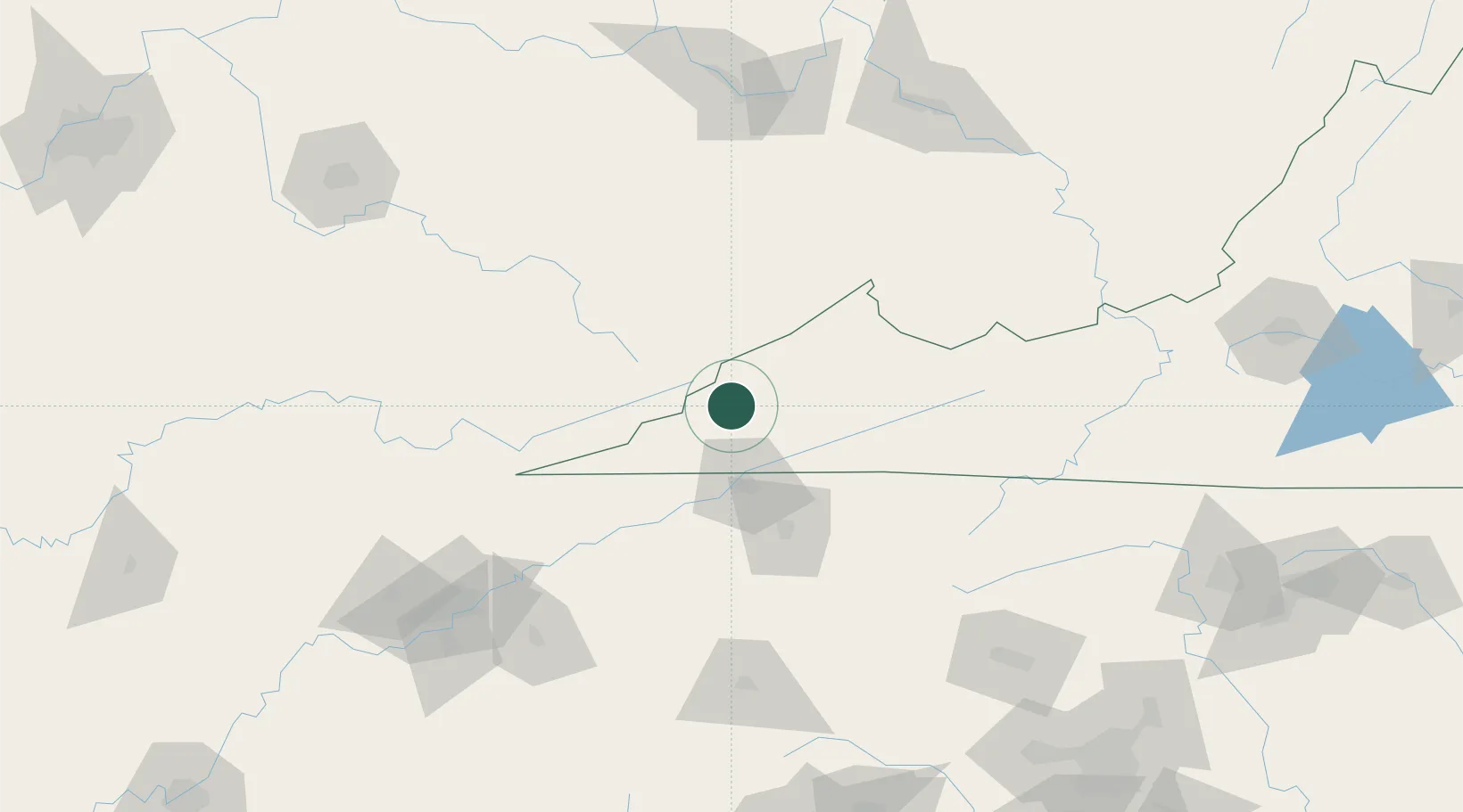
Place type
Provincial seat
Region
Virginia
Population
3,939
Time zone
America/New_York
Elevation
651 m
Location
Nearby Logistics Neighbours
Cities
- 1Duffield28 km
- 2Cumberland31 km
- 3Bristol-Johnson City-Kingsport (Tri-Cities Regional) Apt43 km
- 4Kingsport46 km
- 5Blountville54 km
Ports
- 1Huron497 km
- 2Georgetown500 km
- 3Vermilion501 km
- 4Sandusky502 km
- 5Lorain506 km
Airports
Trade Zones
- 1FTZ No. 204 Tri-Cities54 km
- 2FTZ No. 238 Dublin173 km
- 3FTZ No. 229 Charleston177 km
- 4FTZ No. 148 Knoxville177 km
- 5FTZ No. 038 Spartanburg County230 km
DatabookThe Record of Consolidated Knowledge
United States beyond logistics?