Transport Functions
Rail
Road
Multimodal
Hub Profile
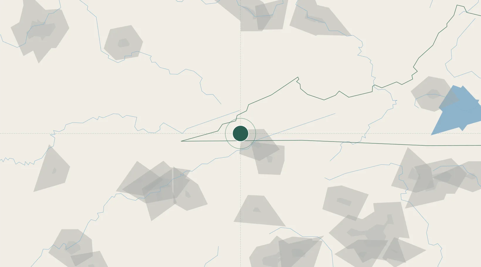
Place type
Populated place
Region
Virginia
Population
86
Time zone
America/New_York
Elevation
438 m
Location
Nearby Logistics Neighbours
Cities
- 1Norton28 km
- 2Bristol-Johnson City-Kingsport (Tri-Cities Regional) Apt28 km
- 3Kingsport31 km
- 4Cumberland32 km
- 5Gray42 km
Ports
- 1Georgetown491 km
- 2Charleston511 km
- 3Beaufort515 km
- 4Port Royal521 km
- 5Huron521 km
Airports
- 1Tri-Cities Regional TN/VA Airport44 km
- 2Julian Carroll Airport108 km
- 3London-Corbin Airport/Magee Field121 km
- 4Asheville Regional Airport144 km
- 5McGhee Tyson Airport147 km
Trade Zones
- 1FTZ No. 204 Tri-Cities44 km
- 2FTZ No. 148 Knoxville151 km
- 3FTZ No. 238 Dublin191 km
- 4FTZ No. 229 Charleston205 km
- 5FTZ No. 038 Spartanburg County209 km
DatabookThe Record of Consolidated Knowledge
United States beyond logistics?