UN/LOCODE hub · United States
USHXD
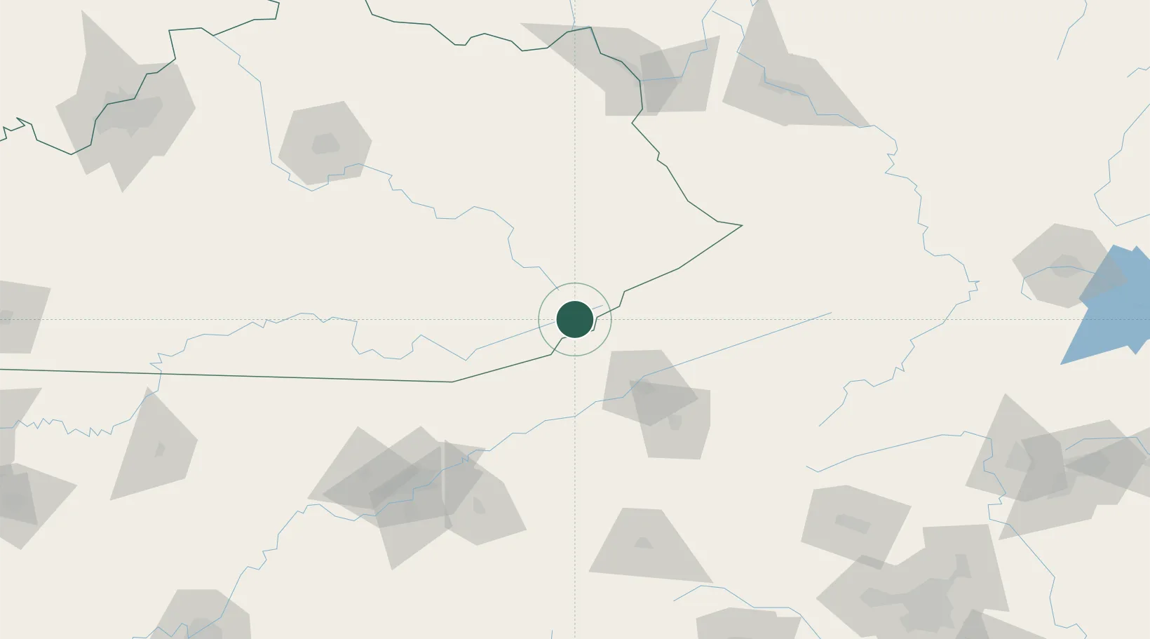
Cumberland
36.9667°, -82.9833°
2,103
Population
2
Transport functions
Transport Functions
Port
Multimodal
Hub Profile
Place type
Populated place
Region
Kentucky
Population
2,103
Time zone
America/New_York
Elevation
440 m
Location
Nearby Logistics Neighbours
Cities
- 1Norton31 km
- 2Duffield32 km
- 3Hyden41 km
- 4Chavies54 km
- 5Bristol-Johnson City-Kingsport (Tri-Cities Regional) Apt60 km
Ports
- 1Huron494 km
- 2Sandusky499 km
- 3Vermilion500 km
- 4Lorain505 km
- 5Port Clinton506 km
Airports
Trade Zones
- 1FTZ No. 204 Tri-Cities74 km
- 2FTZ No. 148 Knoxville156 km
- 3FTZ No. 229 Charleston190 km
- 4FTZ No. 238 Dublin203 km
- 5FTZ No. 038 Spartanburg County240 km
DatabookThe Record of Consolidated Knowledge
United States beyond logistics?