UN/LOCODE hub · United States
USNGB
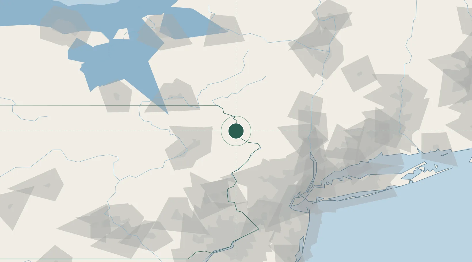
Narrowsburg
41.6167°, -75.0667°
431
Population
3
Transport functions
Transport Functions
Rail
Road
Multimodal
Hub Profile
Place type
Populated place
Region
New York
Population
431
Time zone
America/New_York
Elevation
202 m
Location
Nearby Logistics Neighbours
Cities
- 1Lake Huntington10 km
- 2Callicoon17 km
- 3Hawley19 km
- 4Jeffersonville20 km
- 5Greeley23 km
Ports
- 1Newburgh90 km
- 2Poughkeepsie93 km
- 3Kingston98 km
- 4Catskill121 km
- 5Yonkers124 km
Airports
Trade Zones
DatabookThe Record of Consolidated Knowledge
United States beyond logistics?