UN/LOCODE hub · United States
USCA9

Callicoon

41.7667°, -75.0500°
167
Population
1
Transport functions

Transport Functions

Multimodal
UN/LOCODE

Hub Profile

Place type
Populated place
GeoNames
Region
New York
GeoNames
Population
167
GeoNames
Time zone
America/New_York
GeoNames
Elevation
258 m
GeoNames

Location

Location of USCA9
Natural Earth 10m (public domain) · New York · USCA9 · 41.77, -75.05GoogleOSMYandex

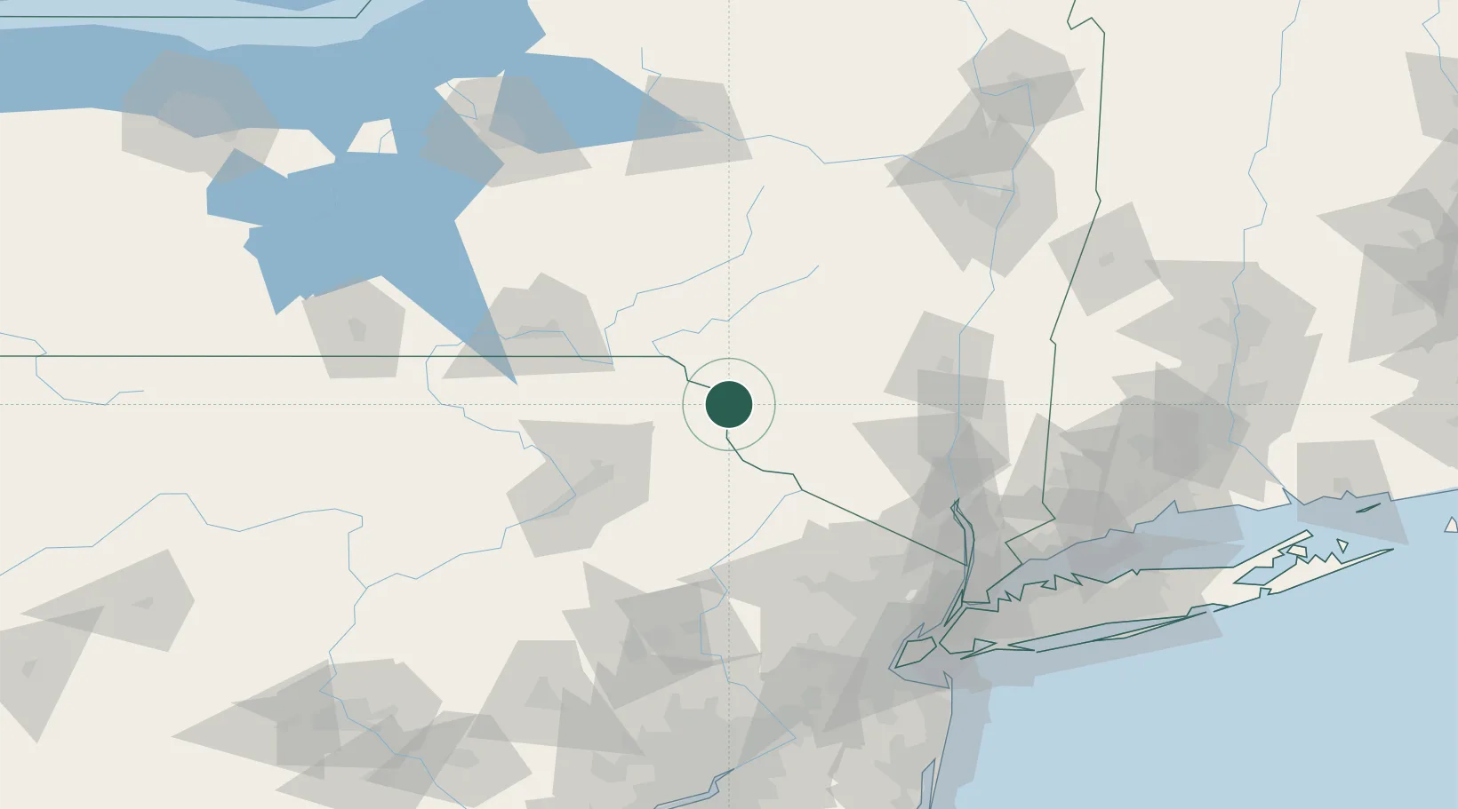
Nearby Logistics Neighbours

Cities
  1. 1Jeffersonville10 km
  2. 2Lake Huntington11 km
  3. 3Narrowsburg17 km
  4. 4Rockland22 km
  5. 5Ferndale26 km
Nearest neighbours — logibook spatial index (haversine) over the source coordinates
Ports
  1. 1Poughkeepsie92 km
  2. 2Kingston92 km
  3. 3Newburgh92 km
  4. 4Catskill111 km
  5. 5Yonkers133 km
Nearest neighbours — logibook spatial index (haversine) over the source coordinates
Airports
  1. 1Wilkes-Barre/Scranton International Airport74 km
  2. 2New York Stewart International Airport84 km
  3. 3Greater Binghamton/Edwin A Link field91 km
  4. 4Dutchess County Airport98 km
  5. 5Morristown Municipal Airport120 km
Nearest neighbours — logibook spatial index (haversine) over the source coordinates
Trade Zones
  1. 1FTZ No. 037 Orange County44 km
  2. 2FTZ No. 024 Pittston80 km
  3. 3FTZ No. 044 Morris County101 km
  4. 4FTZ No. 272 Counties of Lehigh and Northampton133 km
  5. 5FTZ No. 049 Newark Elizabeth140 km
Nearest neighbours — logibook spatial index (haversine) over the source coordinates
DatabookThe Record of Consolidated Knowledge
United States beyond logistics?
Browse databook

All Sources

LocationsUN/LOCODE
UN/LOCODE — free
LocationsGeoNames
CC BY 4.0
Portsthe NGA World Port Index
Public domain (US gov)
AirportsOurAirports
Public domain
Trade Zonesthe World Bank SEZ database
CC BY 4.0
Trade ZonesOpen Zone Map
CC BY
← United States locations