Transport Functions
Rail
Road
Multimodal
Hub Profile
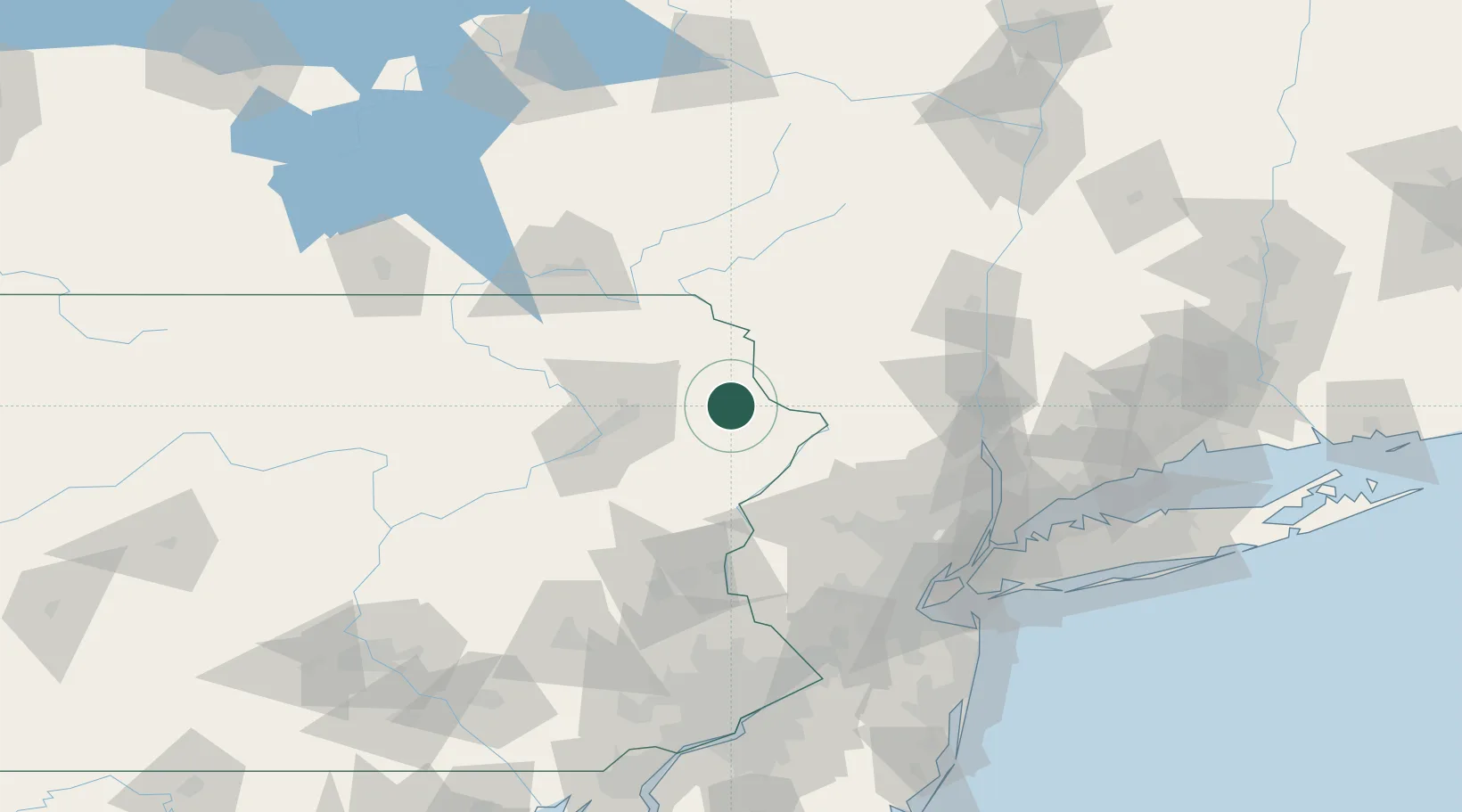
Place type
Populated place
Region
Pennsylvania
Population
1,152
Time zone
America/New_York
Elevation
276 m
Location
Nearby Logistics Neighbours
Cities
- 1Greeley16 km
- 2Narrowsburg19 km
- 3Greentown20 km
- 4Lake Huntington29 km
- 5Jermyn31 km
Ports
- 1Newburgh97 km
- 2Poughkeepsie105 km
- 3Kingston112 km
- 4Newark121 km
- 5Yonkers121 km
Airports
Trade Zones
DatabookThe Record of Consolidated Knowledge
United States beyond logistics?