UN/LOCODE hub · United States
USNAK

Natick

42.2833°, -71.3500°
32,276
Population
3
Transport functions

Transport Functions

Port
Rail
Road
UN/LOCODE

Hub Profile

Place type
Populated place
GeoNames
Region
Massachusetts
GeoNames
Population
32,276
GeoNames
Time zone
America/New_York
GeoNames
Elevation
53 m
GeoNames

Location

Location of USNAK
Natural Earth 10m (public domain) · Massachusetts · USNAK · 42.28, -71.35GoogleOSMYandex

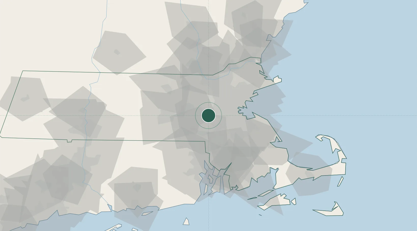
Nearby Logistics Neighbours

Cities
  1. 1Sherborn6 km
  2. 2Dover8 km
  3. 3Wayland9 km
  4. 4Auburndale10 km
  5. 5West Newton12 km
Nearest neighbours — logibook spatial index (haversine) over the source coordinates
Ports
  1. 1Boston26 km
  2. 2Quincy32 km
  3. 3Lynn38 km
  4. 4Salem46 km
  5. 5Beverly47 km
Nearest neighbours — logibook spatial index (haversine) over the source coordinates
Airports
  1. 1Norwood Memorial Airport18 km
  2. 2Laurence G Hanscom Field21 km
  3. 3Boston Logan International Airport30 km
  4. 4Worcester Regional Airport43 km
  5. 5Beverly Regional Airport49 km
Nearest neighbours — logibook spatial index (haversine) over the source coordinates
Trade Zones
  1. 1FTZ No. 027 Boston20 km
  2. 2FTZ No. 105 Providence and North Kingstown53 km
  3. 3FTZ No. 028 New Bedford75 km
  4. 4FTZ No. 081 Portsmouth95 km
  5. 5FTZ No. 201 Holyoke112 km
Nearest neighbours — logibook spatial index (haversine) over the source coordinates
DatabookThe Record of Consolidated Knowledge
United States beyond logistics?
Browse databook

All Sources

LocationsUN/LOCODE
UN/LOCODE — free
LocationsGeoNames
CC BY 4.0
Portsthe NGA World Port Index
Public domain (US gov)
AirportsOurAirports
Public domain
Trade Zonesthe World Bank SEZ database
CC BY 4.0
Trade ZonesOpen Zone Map
CC BY
← United States locations