UN/LOCODE hub · United States
USHYW
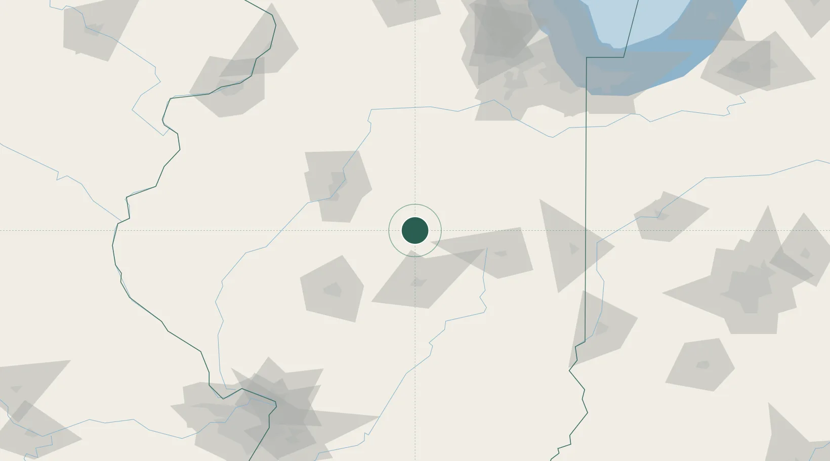
Heyworth
40.3000°, -88.9667°
2,890
Population
3
Transport functions
Transport Functions
Rail
Road
Multimodal
Hub Profile
Place type
Populated place
Region
Illinois
Population
2,890
Time zone
America/Chicago
Elevation
230 m
Location
Nearby Logistics Neighbours
Cities
- 1Danvers29 km
- 2Maroa30 km
- 3Forsyth41 km
- 4Warrensburg43 km
- 5Goodfield45 km
Ports
- 1Indiana Harbor199 km
- 2Calumet Harbor201 km
- 3Gary201 km
- 4Chicago210 km
- 5Wilmette226 km
Airports
Trade Zones
- 1FTZ No. 245 Decatur50 km
- 2FTZ No. 114 Peoria69 km
- 3FTZ No. 055 Burlington189 km
- 4FTZ No. 022 Chicago194 km
- 5FTZ No. 031 Granite City203 km
DatabookThe Record of Consolidated Knowledge
United States beyond logistics?