Transport Functions
Road
Multimodal
Hub Profile
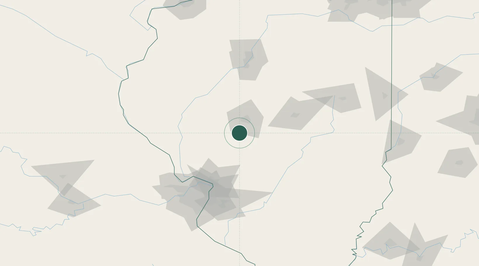
Place type
Populated place
Region
Illinois
Population
4,793
Time zone
America/Chicago
Elevation
191 m
Location
Nearby Logistics Neighbours
Cities
- 1Lemmon9 km
- 2Girard19 km
- 3Morrisonville33 km
- 4Carlinville38 km
- 5Mechanicsburg39 km
Ports
- 1Indiana Harbor302 km
- 2Calumet Harbor303 km
- 3Gary303 km
- 4Chicago312 km
- 5Wilmette326 km
Airports
Trade Zones
- 1FTZ No. 245 Decatur66 km
- 2FTZ No. 031 Granite City103 km
- 3FTZ No. 114 Peoria123 km
- 4FTZ No. 102 St. Louis County135 km
- 5FTZ No. 055 Burlington177 km
DatabookThe Record of Consolidated Knowledge
United States beyond logistics?