Transport Functions
Rail
Road
Multimodal
Hub Profile
Place type
Populated place
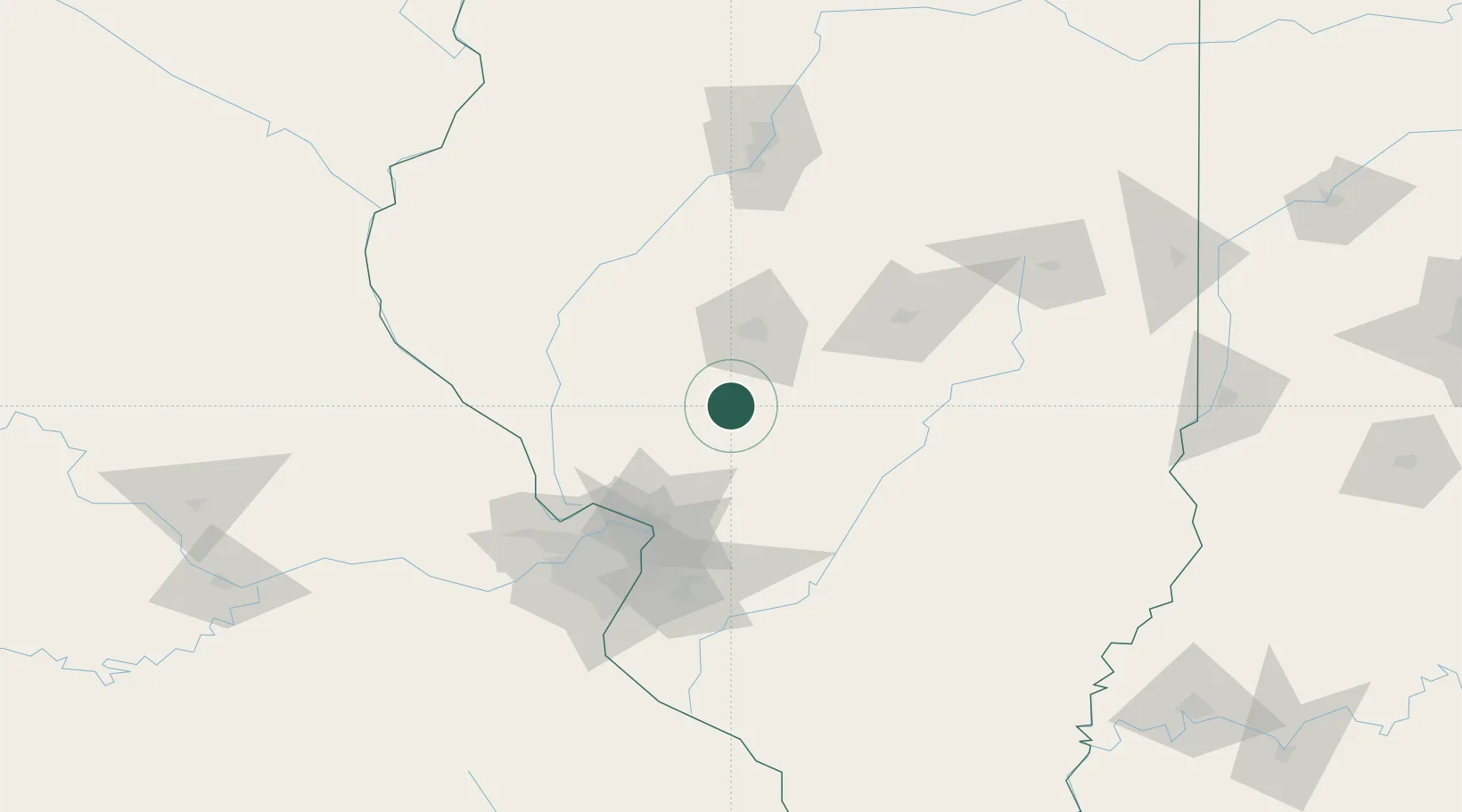
Region
Illinois
Population
2,027
Time zone
America/Chicago
Elevation
204 m
Location
Nearby Logistics Neighbours
Cities
- 1Lemmon12 km
- 2Auburn19 km
- 3Carlinville20 km
- 4Morrisonville27 km
- 5Bunker Hill47 km
Ports
- 1Indiana Harbor317 km
- 2Gary318 km
- 3Calumet Harbor319 km
- 4Chicago328 km
- 5Wilmette343 km
Airports
Trade Zones
- 1FTZ No. 245 Decatur77 km
- 2FTZ No. 031 Granite City86 km
- 3FTZ No. 102 St. Louis County120 km
- 4FTZ No. 114 Peoria141 km
- 5FTZ No. 055 Burlington191 km
DatabookThe Record of Consolidated Knowledge
United States beyond logistics?