Transport Functions
Rail
Road
Multimodal
Hub Profile
Place type
Populated place
Region
South Dakota
Population
1,232
Time zone
America/Denver
Elevation
783 m
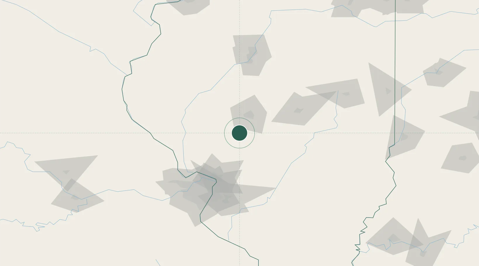
Location
Nearby Logistics Neighbours
Cities
- 1Auburn9 km
- 2Girard12 km
- 3Carlinville29 km
- 4Morrisonville33 km
- 5Mechanicsburg46 km
Ports
- 1Indiana Harbor310 km
- 2Calumet Harbor311 km
- 3Gary312 km
- 4Chicago320 km
- 5Wilmette335 km
Airports
Trade Zones
- 1FTZ No. 245 Decatur73 km
- 2FTZ No. 031 Granite City95 km
- 3FTZ No. 102 St. Louis County126 km
- 4FTZ No. 114 Peoria131 km
- 5FTZ No. 055 Burlington180 km
DatabookThe Record of Consolidated Knowledge
United States beyond logistics?