UN/LOCODE hub · United States
USPIT
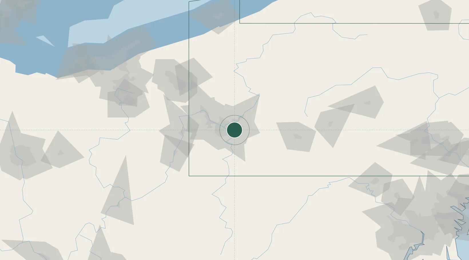
Pittsburgh
40.4074°, -79.8396°
304,391
Population
2
Transport functions
Transport Functions
Port
Airport
Hub Profile
Place type
Provincial seat
Region
Pennsylvania
Population
304,391
Time zone
America/New_York
Elevation
233 m
Logistics facilities
11
Location
Nearby Logistics Neighbours
Cities
- 1Turtle Creek2 km
- 2Wilmerding4 km
- 3Duquesne5 km
- 4Pitcairn5 km
- 5Monroeville5 km
Airports
Trade Zones
- 1FTZ No. 033 Pittsburgh18 km
- 2FTZ No. 295 Central Pennsylvania122 km
- 3FTZ No. 254 Jefferson County147 km
- 4FTZ No. 181 Akron Canton172 km
- 5FTZ No. 240 Martinsburg189 km
DatabookThe Record of Consolidated Knowledge
United States beyond logistics?